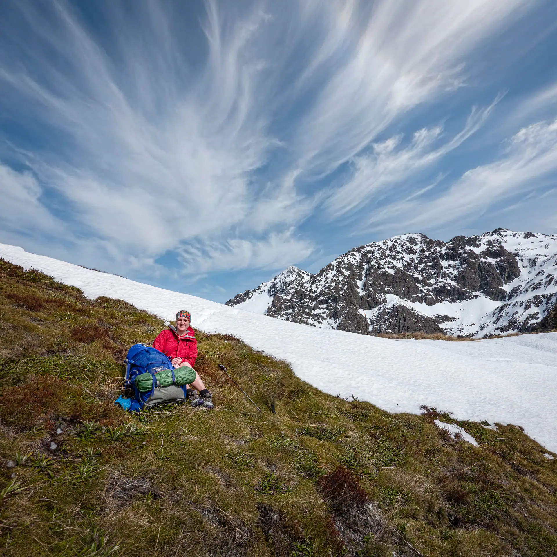
Looking for an off-the-beaten-track backcountry adventure in New Zealand? The Leatham-Molesworth Route is a rugged, 5-day tramping route tucked away in Marlborough’s stunning Leatham Conservation Area. Covering roughly 100 km of marked through unmarked river valleys, scree slopes, and high-country saddles like Severn Saddle, this remote circuit offers wild alpine views, cozy Department of Conservation huts, and plenty of adventure. Whether you’re navigating around “endurance cows,” hunting for the “Leatham Dinosaur”, or scree-sliding into vast valleys, here is our full 5-day trip report, route breakdown, and essential tips for tackling the Leatham Circuit safely.
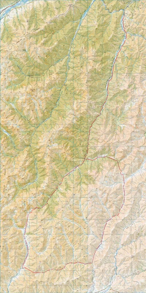
Fast Facts Planning Information
- Location: Leatham Conservation Area & Molesworth Recreation Reserve, Marlborough
- Topo50 Map: BR25 Severn, BS26 Mt Muller, BR26 Mt Patriarch
- Difficulty: Very experienced due to extensive off-track navigation, river crossings, rough terrain
- Start / Finish: Leatham Homestead on Leatham Road (off SH 63)
- Road Access: Leatham Road to the Leatham Homestead is a gravel road suitable for 2WD. After the homestead it is a 4WD road that requires experienced 4WD skills. It can be rough in a number of areas and requires a number of river crossings (We walked this road and others have biked it)
- Direction of Travel: You MUST walk upstream from Saxton Hut to Saxton Saddle to avoid moving stock out of the valley. This is a condition of access and must be following to ensure continued access
- Recreational Permits: Are required in January – April for travel in the Saxton River Catchment. Permits can be applied for online – Allow 10 working days for DoC to receive and process applications
- Huts: Caves Hut (standard, 6 bunks), Barbers Hut (standard, 6 bunks), Bottom Gordons Hut (standard, 6 bunks), Top Leatham Hut (standard, 6 bunks), Severn Hut (standard, 6 bunks), Saxton Hut (standard, 6 bunks), Top Gordon Hut (standard, 6 bunks)
- Dogs: No
- Other Raglan Range Trips: Lees-Hellfire, Silverstream-Bull Paddock-Siberia Hut traverse, Turkeys Nest & Hidden Hut
Our Route Overview
*Note – we got a ride on the back of a 4WD for a number of km on day 1
| Section | Time (hours) | Elevation Gained (m) | Distance (km) |
| Leatham Homestead → Top Leatham Hut* | 5 | 968 | 31 |
| Top Leatham Hut → Boundary Stream campsite | 6 – 7 | 1,341 | 21 |
| Boundary stream campsite Boundary stream campsite → Top Gordon Hut | 6 – 7 | 639 | 23.5 |
| Top Gordon Hut → Leatham River campsite | 6 – 7 | 351 | 24 |
| Leatham River campsite → Leatham Homestead | 1.25 | 39 | 6 |
Camping at Onamalutu
“Dolphins!” shouted a crew member as we travelled through the Marlborough Sounds on the Interislander. I sprinted over to the railing as dolphins are one of my favourite animals and saw a huge pod of dolphins swimming joyfully alongside the ferry. Just magical! This seemed like a good start to our 5 day Leatham Molesworth Route tramp as did the stunning bluebird day…….
On arriving in Blenheim Tony declared we would camp the night at Onamalutu. I thought Tony was pulling my leg as it sounded like somewhere in Hawaii. It turned out he was completely serious and the Onamalutu DoC campsite does indeed exist – a beautiful campsite in podocarp forest on the edge of Richmond Forest park. Tony and I set up camp only to discover we had both bought identical Macpac microlight tents that I was worried could be a source of confusion when trying to find my way back to my tent in the dark.
A Hunter’s Warning
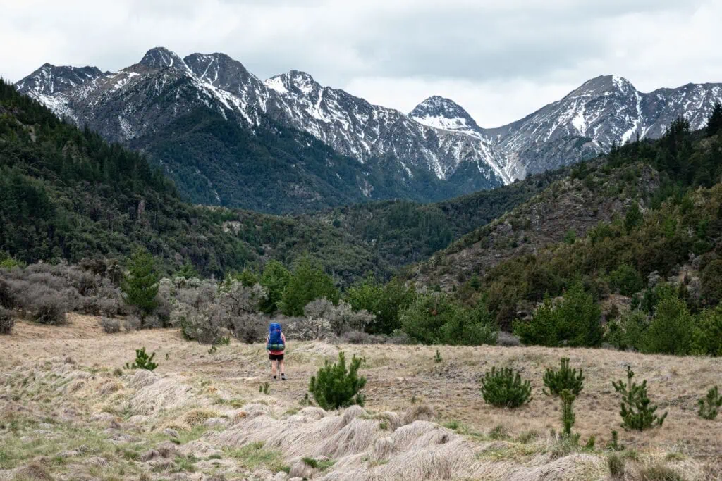
Saturday dawned a beautiful clear day. We faced a 24km walk along a 4WD road to reach Bottom Gordons Hut and the start of the Leatham Molesworth Route. Luckily, after only an hour, a hunter in a ute (complete with hunting dogs) offered us a lift. We held on tight, ducking low branches and snuggling up to the dogs for warmth. After another kind driver took us the rest of the way through some deep river crossings, we felt pretty smug about skipping that road walk—little did we know we’d be retracing those exact steps in a few days!
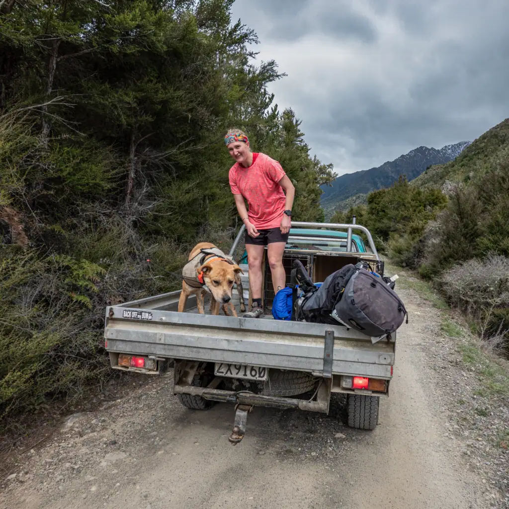
After lunch at Bottom Gordon Hut, we pushed on toward Top Leatham Hut. Along the way, a hunter caught me making a massive fuss over a tiny patch of snow. He looked concerned and warned us we wouldn’t get over Severn Saddle without alpine gear. I think he thought we’d never seen snow before. I was gutted to hear this but Tony reassured me that we would still go have a look anyway.
The “Leatham Dinosaur”
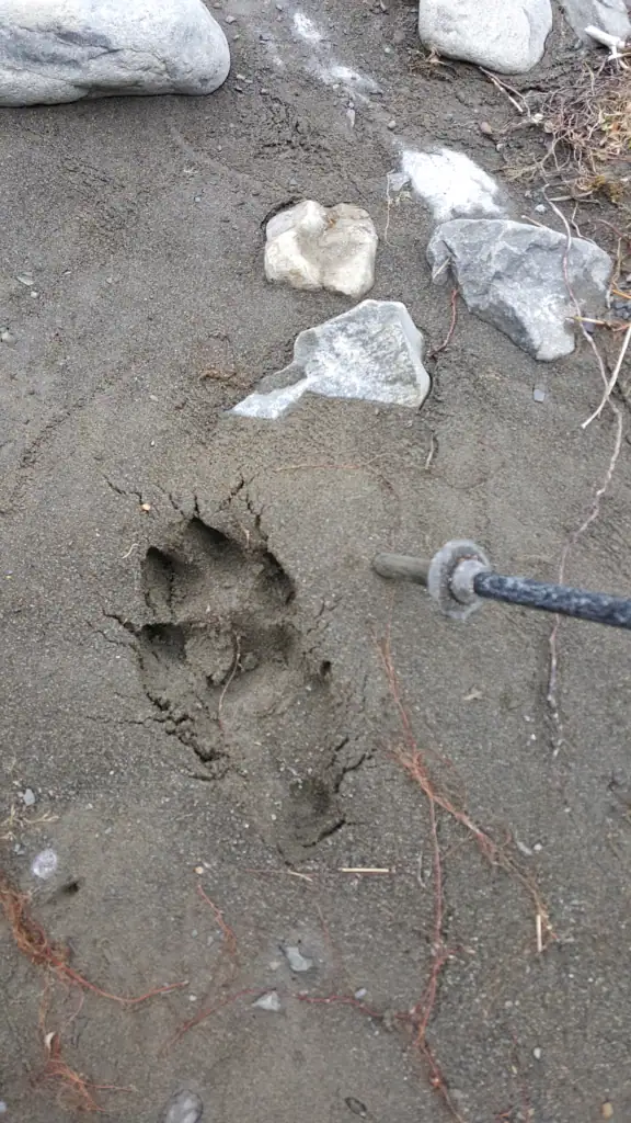
The plot thickened when we spotted a massive footprint in the sand. It wasn’t a dog, a stag, or a human. I’m convinced it’s the “Leatham Dinosaur,” or maybe the Sarahsaurus that resides in Puhi Puhi Valley.
⚠️ Good to know: An old bulldozer track starts on the true left of the river at Bottom Gordon Hut & crosses the river multiple times. The track drops down to a tributary creek on the true left bank at approximately the 4 km mark, an orange triangular track marker is visible straight opposite on the true right bank. Cross the river, and follow the track to Top Leatham Hut
Gourmet Cooking and the Great Tim Tam Heist
Safely at Top Leatham Hut after an easy walk along the Leatham Track, I broke out the “luxury” supplies. Since I’d volunteered to organize the food, I’d packed absolutely no dehydrated meals. Instead, Tony had the “pleasure” of carrying a massive bag of fresh zucchini, capsicums, and broccoli!
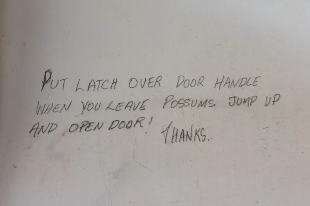
The night was spent toasting marshmallows by a fire so hot that even our Tim Tams started melting. We also had to defend our stash. A note by the door warned that the local pesky possums knew how to turn the door handle! When the door slowly creaked open in the night, I slammed it shut immediately. I wasn’t about to lose our snacks like the time a possum must have ended up with a severe stomach ache after eating Toffee Pops on another trip.
Severn Saddle: Avalanches and Scree Sliding
Sunday brought more bluebird skies as we headed for Severn Saddle (2hrs from Top Leatham Hut). It felt like Christmas with the snow and wilding conifers. However, these wilding conifers are invasive weeds that are killing off the native vegetation so we pulled as many as we could out of the ground. The views from above the bushline were stunning especially with the surrounding peaks covered in snow.
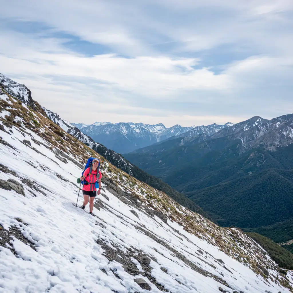
Despite the hunter’s warning from the day before, the snowy traverse to the saddle was soft and perfectly safe. There was absolutely no snow at all on the other side of the saddle. We celebrated at the top before “using our height wisely” (whatever the DOC guide meant by that!) to fly down a massive scree slope. Halfway down, a thunderous roar startled me. It was a massive avalanche across the valley. It was a sobering reminder of Mother Nature’s power.
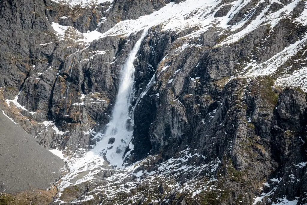
⚠️ Route warning: After Severn Saddle there are no track markers. Take a descending sidle from Severn Saddle on the true left, staying on the true left of the 18m waterfall.
The vast Severn Valley
Walking down the Severn Valley at 1,200m felt surreal—it’s the same height as Jumbo Hut in the Tararua Range! I felt like a tiny ant in the valley with the towering snowy capped peaks on either side. Just before Severn Hut we had a big decision to make when we came to a huge patch of matagouri………timely detour or bash straight through for lunch – we chose lunch! (my legs immediately regretted this decision as I was not wearing gaiters!).
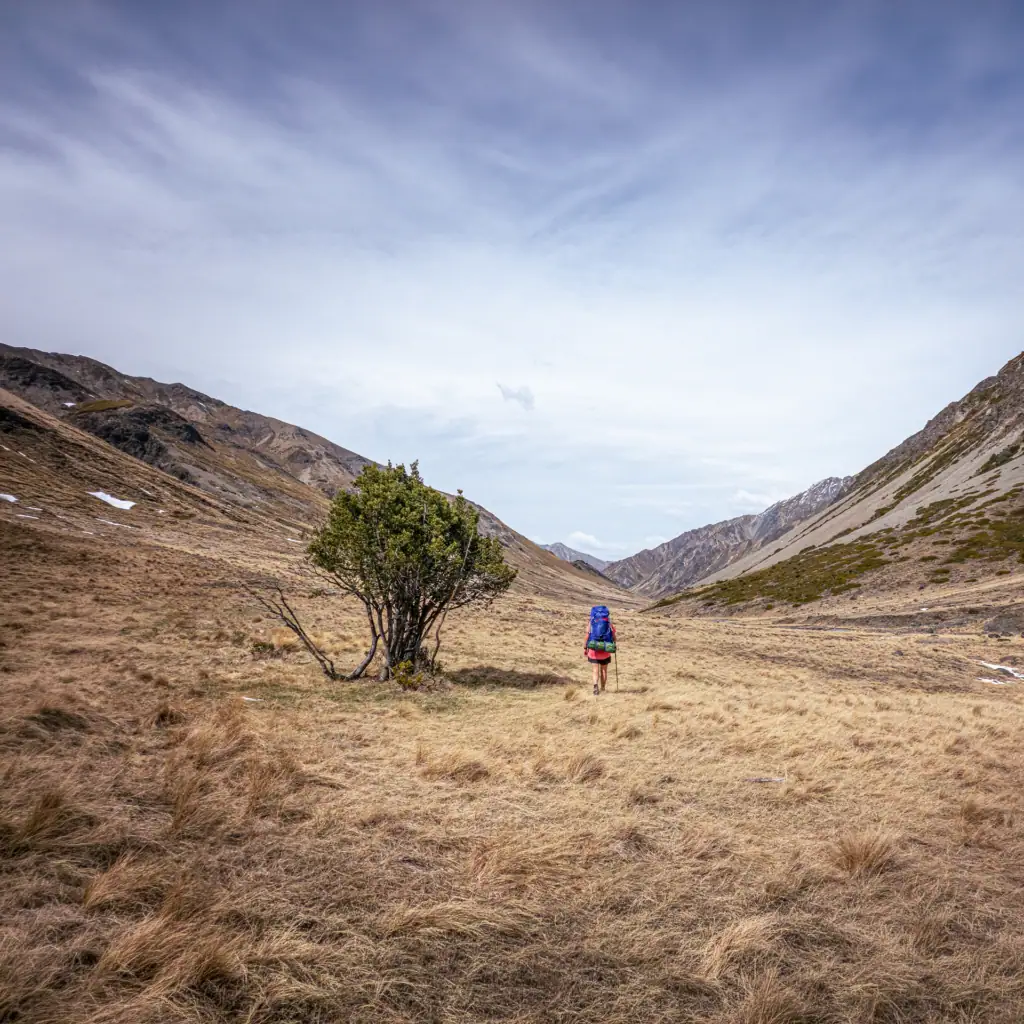
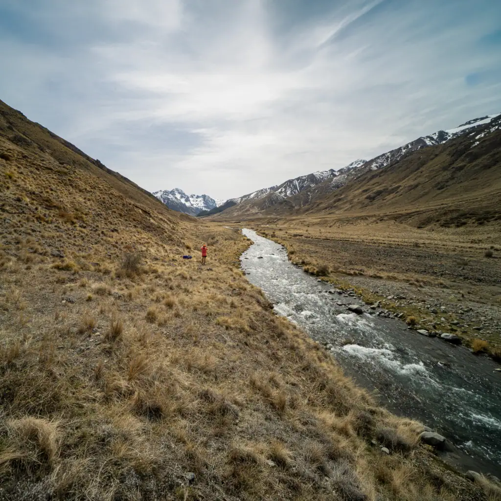
⚠️Good to know: There are good cattle tracks to follow about 100 m away from the river on the true left, avoiding swamps. The Severn River is followed for 8km.
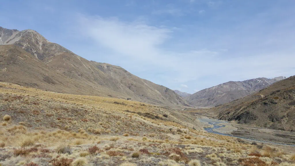
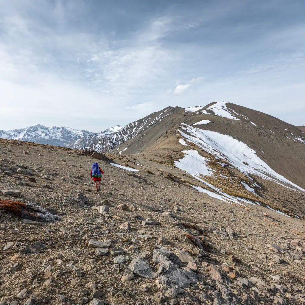
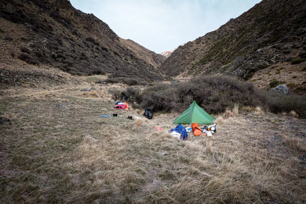
Severn Hut was in such a fantastic location that we could have been tempted to spend the night there. But we had another hill to climb – up the spur to point 1764m. I saw a few skinks during the climb and had fun making snow angels in the snow to cool down. During one break. Tony appeared below me looking like he had a massive ice-cream headache; he’d actually stuffed a pile of snow under his hat to cool down! We skied down the scree slope to the stream (locally known as Boundary Stream) where we started looking for good campsites.
The “Endurance Cows” of Saxton Valley
On Monday morning we had an hour’s walk to Saxton Hut – like Severn Hut it had a gate to stop nosey cows from wandering up to the hut. Cows graze the area during summer and during the summer months you are only permitted to travel upstream to avoid moving stock out of the valley. I’m convinced these are “endurance cows” doing high-altitude training. In the Saxton hut book, I was stoked to see names of fellow Wellington Tramping Club members Emily and Mark.
Battling through Spaniards/Speargrass
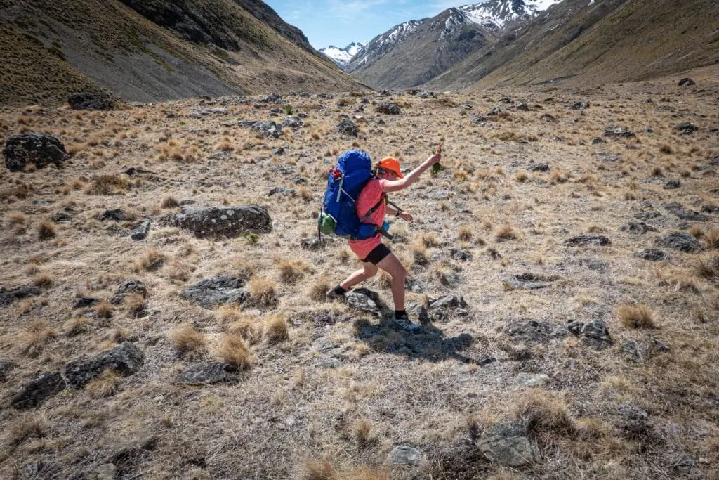
Walking up the Saxton Valley involved following numerous cow trails and avoiding deep bogs as we passed by Team Hut (private). The climb up to Saxton Saddle was hard work. There was no easy foot trail and we kept falling in deep tussocks, spaniards and matagouri. My legs were burning from being ripped to shreds. I was starting to look like I had been in a fight with a thousand wild cats (note to self: buy gaiters!). There were a few narrow sections with exposure on the descent to Top Gordons Hut but we finally got to Top Gordon Hut to enjoy the last of the sunshine.
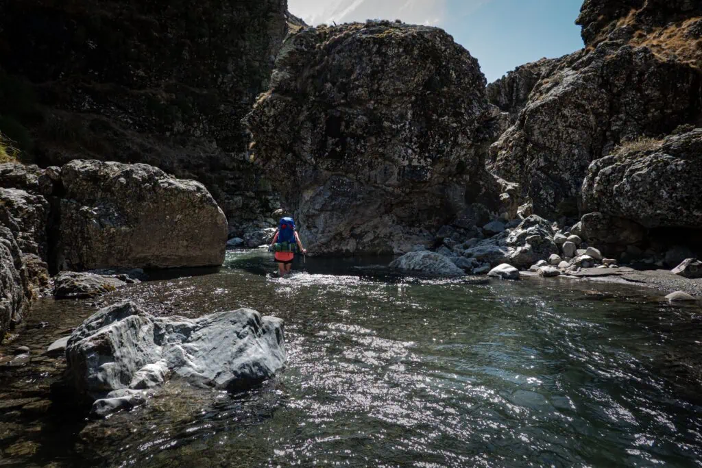
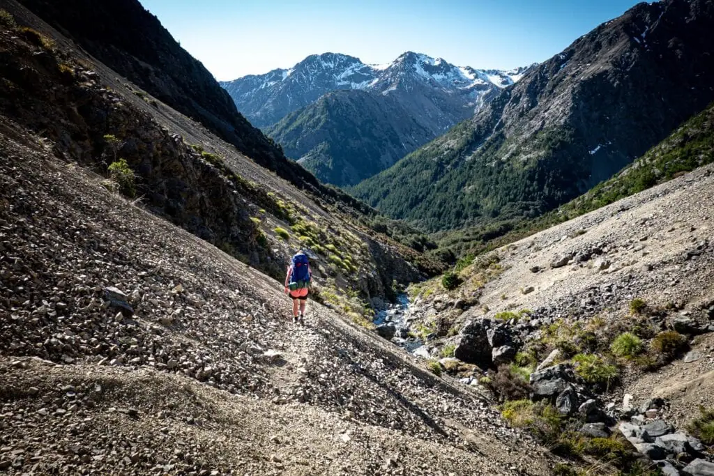
⚠️ Route warning: Numerous crossings of the Saxton river, negotiating a small gorge, and crossing many tributary creeks are required on this section. Saxton Saddle has no track markers, just a DoC sign. Follow Gordon Stream on the true left. This section has been impacted by a slip. There is no obvious ‘bench’ track across the scree, but it is passable with care. Track markers start before the beech forest.
The Long Walk Out & a Prize-Winning Finish
Our plan of walking out via Waihopai Saddle was off the cards when we realised there was too much snow to venture there without alpine gear. Our alternative plan was to walk back along the 4WD road that we had felt smug about skipping a few days earlier. Tony and I were impressed at how tidy all the huts were along the 4-wheel drive road. We had to cross the Leatham River after Barbers Hut and it was deep and flowing so fast that we had to use the mutual support method to cross it safely; even a 4WD had struggled to cross it and eventually got stuck, resulting in it having to be towed out.
⚠️ Route warning: About 1km from Top Gordon Hut, the track meets Gordon Stream and the track is in the stream bed for a short time. There is a big track marker on the true left to mark the climb out of the stream bed back into the beech forest.

Caves Hut, complete with an airstrip, was very tidy but we made the decision to continue along to make more progress on the road walk before the ferry the next day. We spent our final night camping in a Manuka forest by the Leatham River with a roaring fire and a chorus of frogs. On Wednesday, a short walk saw us back at the car. To top it all off, as soon as we hit cell reception, Tony found out he’d won two categories in the FMC photo competition. What a way to end a magical Marlborough mission around the Leatham Molesworth Route

Tramp completed October 2020