

Carrying two tents. Spaniards on steroids. Endless treefall. A slow bush bash through dense beech forest. Sleeping on the hard ground.
Lees-Hellfire Circuit: Five Days in the Raglan Range
The Lees-Hellfire Circuit in Marlborough had been on my tramping wish list for several years. With a good weather window approaching, Tony and I finally decided to tackle this remote five-day circuit in New Zealand’s Raglan Range.
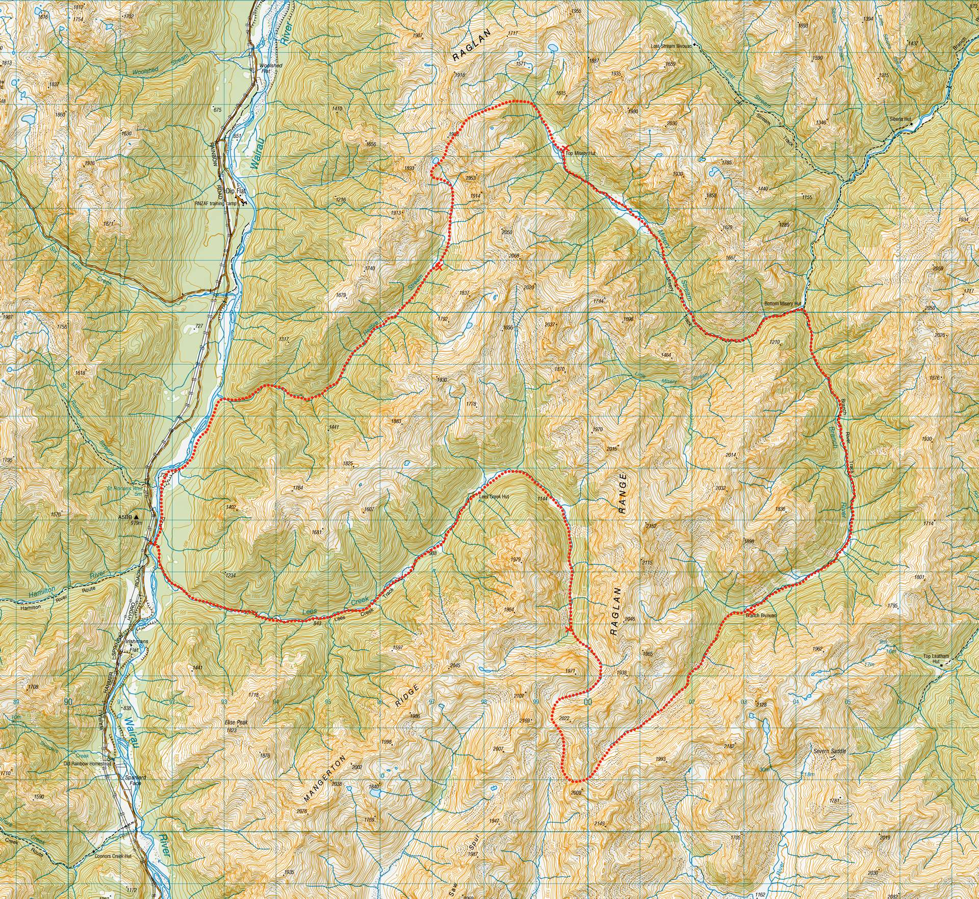
The route links Lees, Branch, Misery and Hellfire valleys. A little misery and hell seems almost compulsory on any trip into this rugged area. Perhaps that is why an early name for the Raglan Range was the “Bounds of Hades” due to its unforgiving ridges and the surrounding geography having equally bleak names. Having majored in Classics, I could appreciate the reference.
It is certainly an appropriate name for a circuit featuring rough off-track travel, dense bush, windblown scree, extensive treefall and valleys named Misery and Hellfire. But with those challenges, the Raglan Range also delivers spectacularly: quiet isolated huts, clear alpine streams, hidden meadows, rare scree plants, giant spaniard fields, beautiful beech forests and some of the finest remote tramping country in the South Island.
Fast Facts Planning Information
- Location: Leatham Conservation Area, Marlborough
- Topo50 Maps: BS 25 Severn
- Duration: 5 days; 60km; 3,725m elevation
- Difficulty: Advanced/Very experienced due to extensive off-track navigation required; steep ridges with rough terrain, river crossings
- Start / Finish: Rainbow Road (off SH 63)
- Road Access: Rainbow Road is a gravel road. Access to Rainbow Road requires permission from Rainbow Station owners and a key for the locked gate except for the summer months (usually Boxing day – April) when the gate is open & an access form & cash must be paid at the Toll Gate
- Huts: Lees Creek Hut (standard, 4 bunks), Branch Bivvy (basic, 2 bunks), Bottom Misery Hut (standard, 6 bunks), Top Misery Hut (standard, 4 bunks)
- Our video: Lees-Hellfire Trip
- Best Season: November – April
- Dogs: With Permit only
- Wasps: Can be very problematic in this area. Take plenty of antihistamaines & be cautious of nests
- Other Tramps in Leatham Conservation Area: Leatham-Molesworth Route, Turkeys Nest & Hidden Hut via Wye Route, Silverstream-Bull Paddock-Lost Stream-Siberia Hut Traverse
Our Route Overview
| Section | Time (hours) | Elevation Gained (m) | Distance (km) |
| Rainbow Road → Lees Creek Campsite at 1,300m contour line | 5 | 709 | 14 |
| Lees Creek Campsite → Branch Bivvy via Judges Valley | 8 – 10 | 1,290 | 11 |
| Branch Bivvy → Top Misery Hut | 8 – 10 | 578 | 16 |
| Top Misery Hut → Hellfire Stream campsite at 1,100m contour line | 8 – 9 | 954 | 10 |
| Hellfire Stream Campsite → Rainbow Road | 4 | 194 | 9 |
Day 1: Rainbow Road to Lees Creek
We had a relaxed start from Rainbow Road. Tony had obtained permission from the Rainbow Station owner and collected the key for the road gate, allowing us to drive to the beginning of the route.
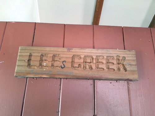
Our tramp began by crossing a high swing bridge over the Wairau River. From there, an easy track led up the valley through regenerating native bush to Lees Creek Hut. Interestingly, the “s” was missing from the hut’s name on the door.
Someone failed the hut name spelling test.
Following Lees Creek: A lesson in “not uncommon”
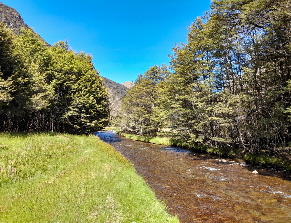
Beyond the hut, we began with a short bush bash before finding a faint foot trail on the true left of Lees Creek. When we emerged from the bush into a beautiful meadow, the creek unexpectedly disappeared underground.
Tony assured me that I did not need to worry about running out of water. Streams commonly vanish beneath deep alluvium before reappearing farther up the valley. Sure enough, the creek soon returned as we continued climbing.
Along the way, we had a lengthy discussion about the phrase “not uncommon,” which Shaun Barnett had used in a Wilderness trip report about the circuit. The double negative almost made my head explode, so Tony entertained himself by inventing sentences containing multiple double negatives and challenging me to work out what he meant.
A Flat Mattress & Sneaky Possum
At a clearing near the 1,300-metre contour, we decided to camp for the night. We toasted marshmallows over our campfire, and I took a quick swim in the cold creek before trying to repair my sleeping mat, which had annoyingly gone flat.
Despite several attempted repairs, the mat was as determined as I was. Eventually, I admitted defeat and fashioned a makeshift mattress from my pack and spare clothing.
During the night, I got up and found Tony’s bag of muesli lying several metres away from his tent. Assuming he had left it there accidentally, I put it back beneath his tent fly. The next morning, I learned that a possum had poked its head into his tent and stolen the bag while he slept.
Possums cause enormous damage to New Zealand’s native plants and wildlife. Stealing a tramper’s breakfast was just another offence to add to the list.
Day 2: Lees Creek to Branch Bivvy
We made an early start the following morning. A rock cairn stood beside our campsite, and a faint trail initially helped us on our way. After another section of bush bashing, we rediscovered it and emerged from the trees beside a tall waterfall.
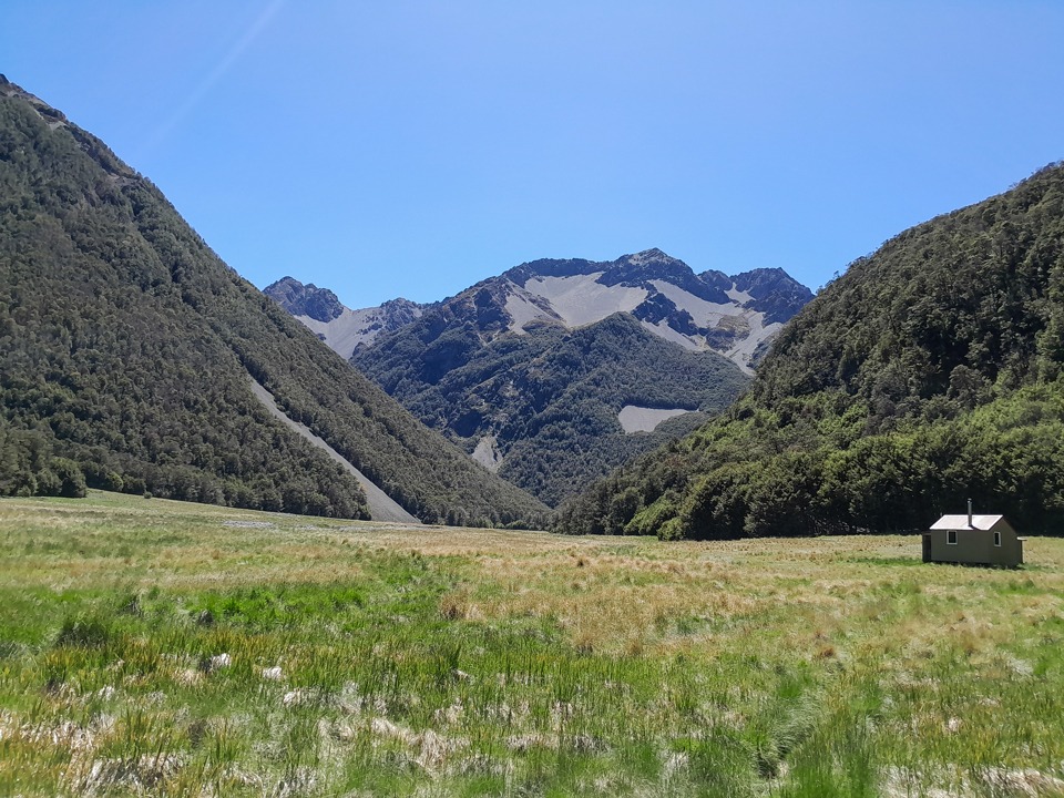
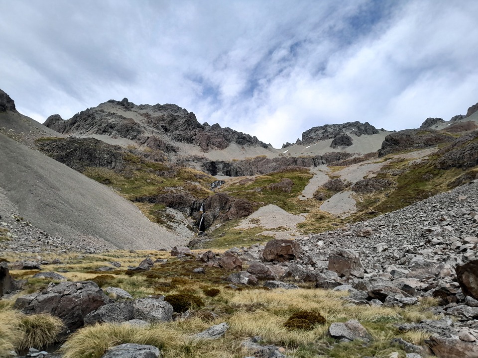
Ahead was a magnificent alpine valley surrounded by native tussock, with no obvious invasive plants. Another waterfall towered over the head of the valley, its water perfectly clear. We paused to take in the surroundings before climbing the true left of the waterfall and crossing above it.
Penwipers in the Raglan Range
As we climbed higher, Tony spotted an unexpected highlight: a group of penwipers flowering on the scree slope. Seeing these rare alpine plants in bloom was such a privilege. Few other plants can survive in this habitat, and penwipers do not usually grow in large numbers. We were extraordinarily fortunate to encounter entire fields of them.
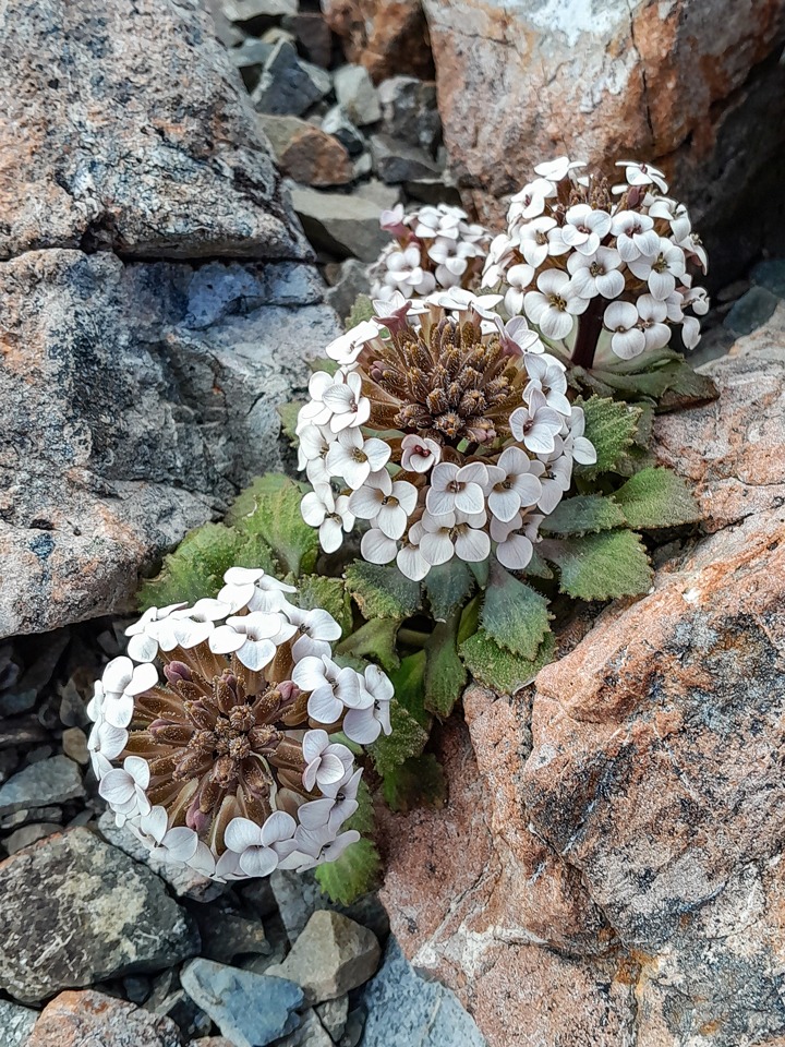
The penwiper, Notothlapsi rosulatum, grows only on scree slopes east of the Southern Alps, between Marlborough and Canterbury. It survives in an exceptionally harsh environment, enduring hot, desert-like days, freezing nights, winter snow and constantly shifting shingle.
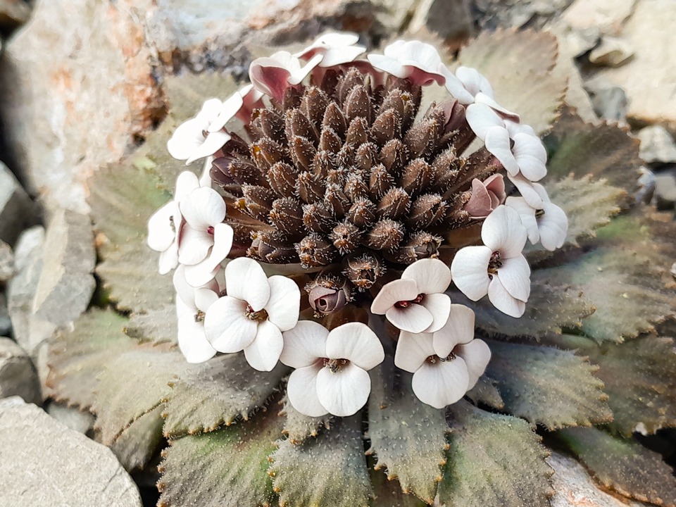
At the top of Lees Valley, we made an enjoyable scree descent into the head of Judges Valley. Taking care not to lose too much height, we followed a rising sidle towards the beginning of our next long climb. More penwipers grew across this slope, and there were so many that we had to choose our footsteps carefully to avoid damaging them.
The ‘Get out of Jail’ Card into the Branch Valley
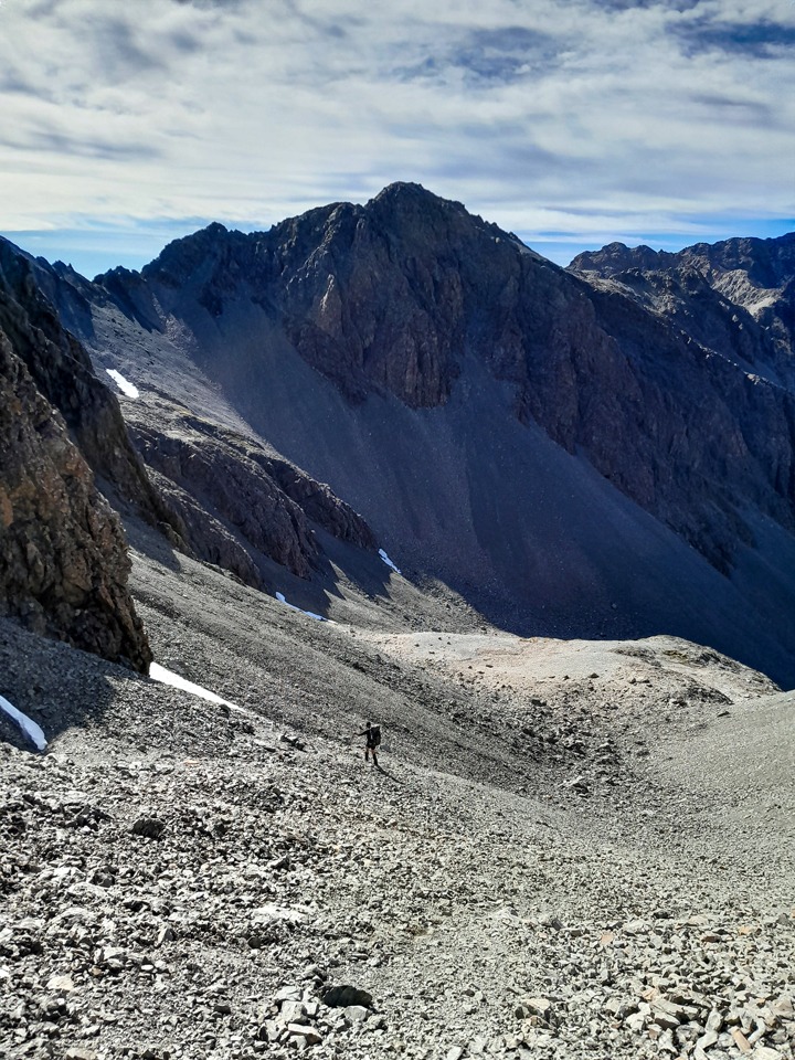
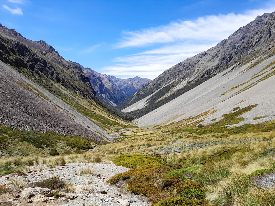
Near the top of the climb, the route appeared impassable. I dropped my pack and went ahead to investigate. After getting beyond the section that had stopped me, I found an alternative line and reached a narrow notch leading into Branch Valley. (There are multiple ways to drop into the Branch valley and this is the route we chose).
On the far side, I located a way down, then discovered another option that was considerably easier and safer. Tony called it our ‘get out of jail card’ because it delivered us directly onto a scree run into Branch Valley.
A Gravel Hailstorm & Slow Bush Bash to Branch Bivvy
The wind then caught us in what I called a ‘gravel hailstorm.’ Fierce gusts lifted dust and grit from the surrounding scree and blasted it into our faces like painful hail. We found ourselves constantly turning away to protect our eyes and skin.
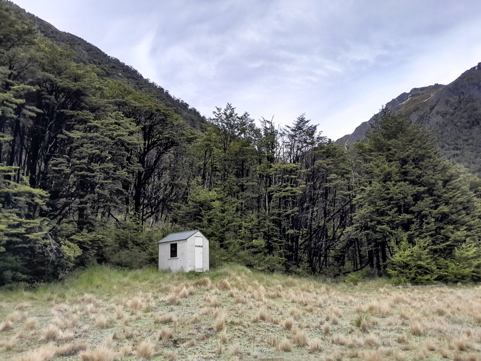
Once inside the bush, we picked up an animal trail. It disappeared above the gorge, however, leaving us with an extremely slow and difficult bush bash to Branch Bivvy. It was classic Type 2 fun. I have rarely been so relieved to see a hut.
Day 3: Branch Bivvy to Top Misery Hut
The Misery of Clambering over Endless Fallen Trees
Heavy rain arrived the following morning, as forecast, so we delayed our departure until conditions eased.
The Department of Conservation had issued an alert about treefall on the route between Branch Bivvy, Bottom Misery Hut and Top Misery Hut. We initially wondered how bad it could really be. (Note: as of August 2026, the alert has since been removed)
Then we found a hut-book entry from trampers who had completed the circuit in the opposite direction only a few weeks earlier. They reported fallen trees every 10 metres, a difficult slip and a journey time approximately one and a half times the published estimate.
The track began clearly enough and we thought we had escaped it all, but then treefall appeared not long after. There was a lot of it. We repeatedly climbed over, crawled under and worked our way around fallen trees, often having to search for the track again on the far side.
A few open sections provided welcome relief, but the route certainly began to feel like the Misery portion of the circuit.
A Sleigh of Dogs, Christmas Carols and a Lost Tent
Partway down the track, I told Tony that I could see what appeared to be a dog ahead. Assuming it belonged to a hunter, we began making plenty of noise. As it was December, this involved loudly singing Christmas carols.
When we rounded the corner, we found what looked like an entire sleigh team: three young women accompanied by four dogs.
They were undertaking an ambitious off-track journey from the Branch into the Leatham. Two of the women and three dogs had squeezed into one tent after another tent was lost somewhere among the fallen trees. I took their contact details and promised to tell them if we found it.
Their cheerful attitude and willingness to tackle such an adventurous route impressed me. If we found the missing tent, I was determined to reunite them with it.
After seemingly endless treefall, the sun finally emerged. Not long afterwards, I spotted the missing tent hanging from a tree like a punching bag. I strapped it to my pack and carried it out. Once home, I sent it back to its owners in Dunedin. The tent had clearly seen many adventures, and I like to think that members of the tramping community look after one another.
The Misery Valley
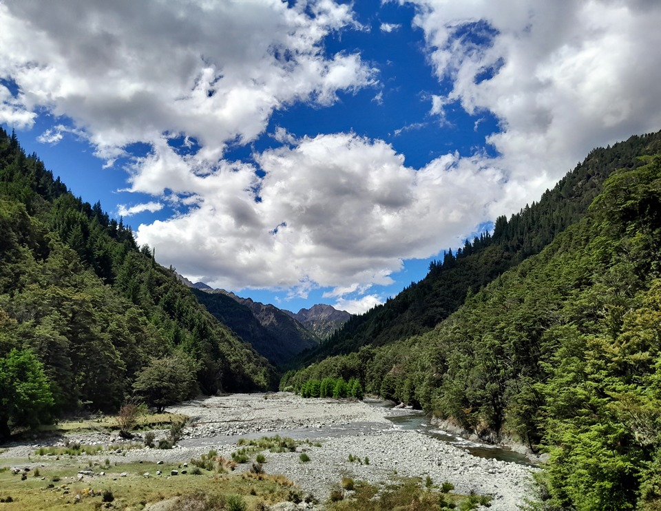
Just before Bottom Misery Hut, we reached the reported slip. A high sidle track bypassed it, and I would strongly favour that option. Attempting to cross the slip itself could have serious consequences.
At Bottom Misery Hut, we sat in the warm sun and struggled to motivate ourselves to continue, knowing that more treefall lay ahead. Progress was slow. Later, where part of the track had washed away, we spread out to search for it.
“I’ve found a tree,” I called to Tony.
“Yes, there are plenty of those,” he replied.
Puzzled by his response, I quickly realised my mistake. I had meant to say that I had found a track marker.
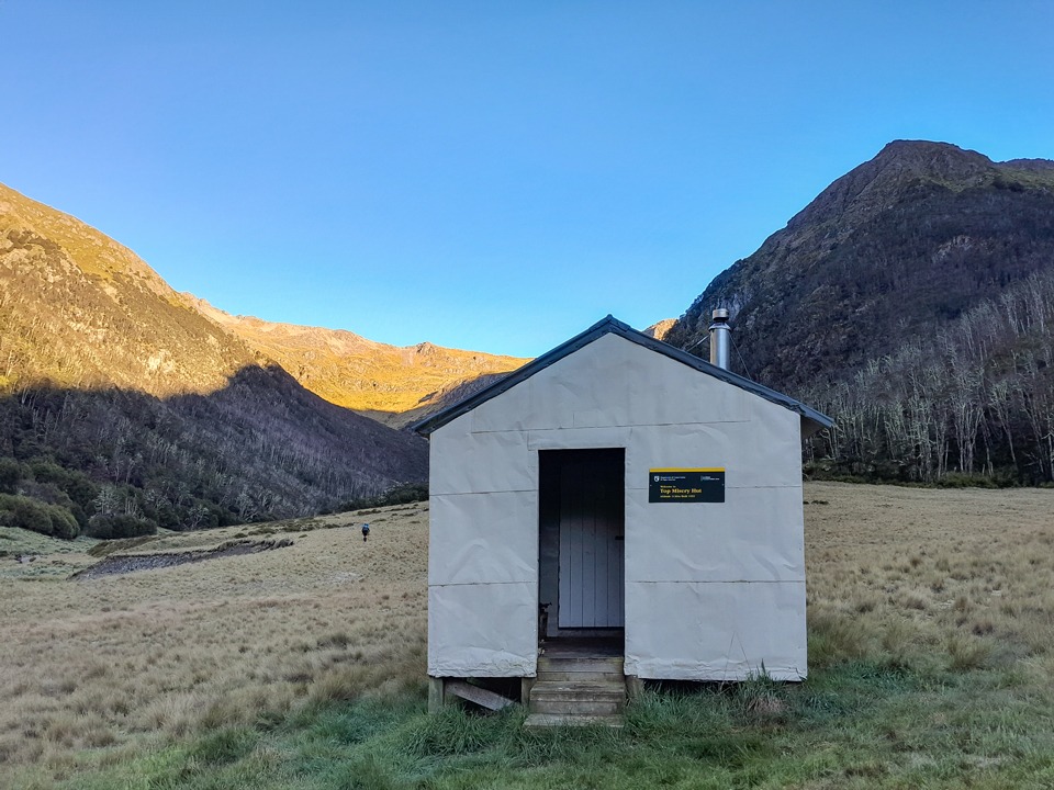
Farther up the valley, we reached another beautiful alpine meadow where the stream once again disappeared underground. We followed its course across the clearing towards Top Misery Hut.
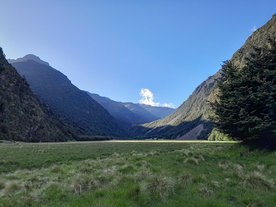
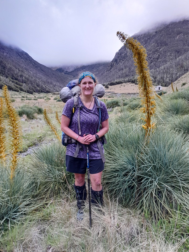
Tony had promised that I would see excellent spaniards near the hut, and he was right. The plants appeared to have had an exceptional growing season. Many stood more than two metres tall, prompting Tony to photograph one towering above me.
Fortunately, a well-formed foot trail skirted the dense spaniard population and spared us from having to push through it.
Day 4: Top Misery Hut to Hellfire Stream
After low cloud and clag overnight, the weather cleared into a brilliant bluebird day.
We initially tried to bush bash up the true left of Misery Stream. After crossing to the true right, we found much easier travel. It was a hot climb through the tussock basin and onto the ridge, but the varied colours of the tussock made it a beautiful ascent.
Hellfire Tarn
Rock cairns marked the notch through the ridge to Hellfire Valley. We stopped there for a break before crossing, immediately noticing a sharp temperature drop on the other side. The descent from the notch required concentration and care but caused no significant problems.
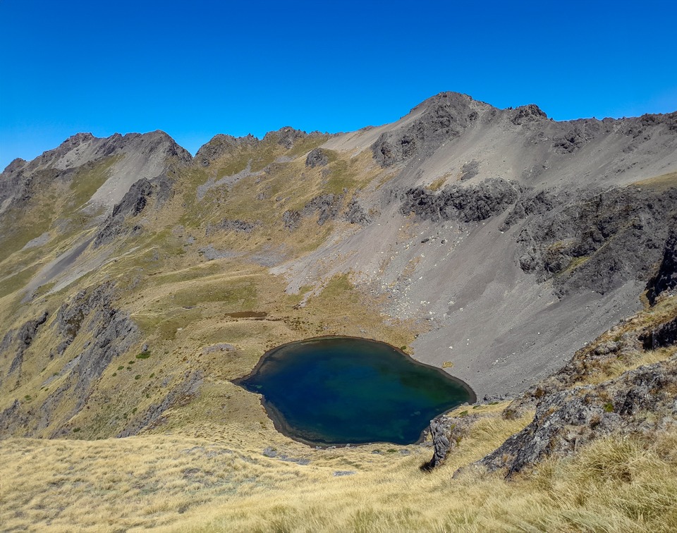
We passed a large patch of snow and descended rapidly towards Hellfire Tarn, which glittered invitingly in the sunshine. It was an obvious place for lunch, and I went for a quick swim.
Several possible routes descend from the tarn towards the creek. All are steep, and wet snowgrass would make them considerably more hazardous.
Hellfire Valley
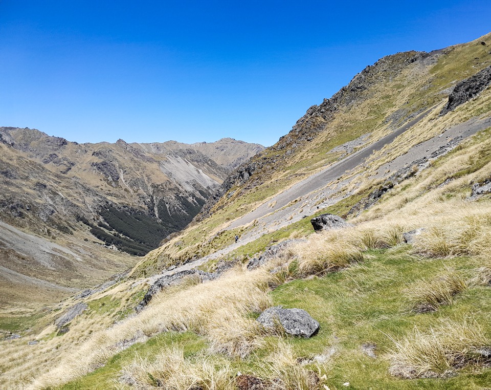
Travel down Hellfire Valley was slow. The tussock concealed deep holes, and because I was walking in front, I had the pleasure of discovering most of them. One moment Tony would see me ahead; the next I would disappear into the vegetation. Occasionally, he had to help pull me out.
At the bush edge, we knew there was a route marked by the Nelson Tramping Club. We initially missed it and, even after finding it, sometimes struggled to stay on it. The markers appeared to be positioned more clearly for trampers travelling up Hellfire Valley rather than descending it.
Even so, the marked route was extremely useful, and we appreciated the work involved in establishing and maintaining it.
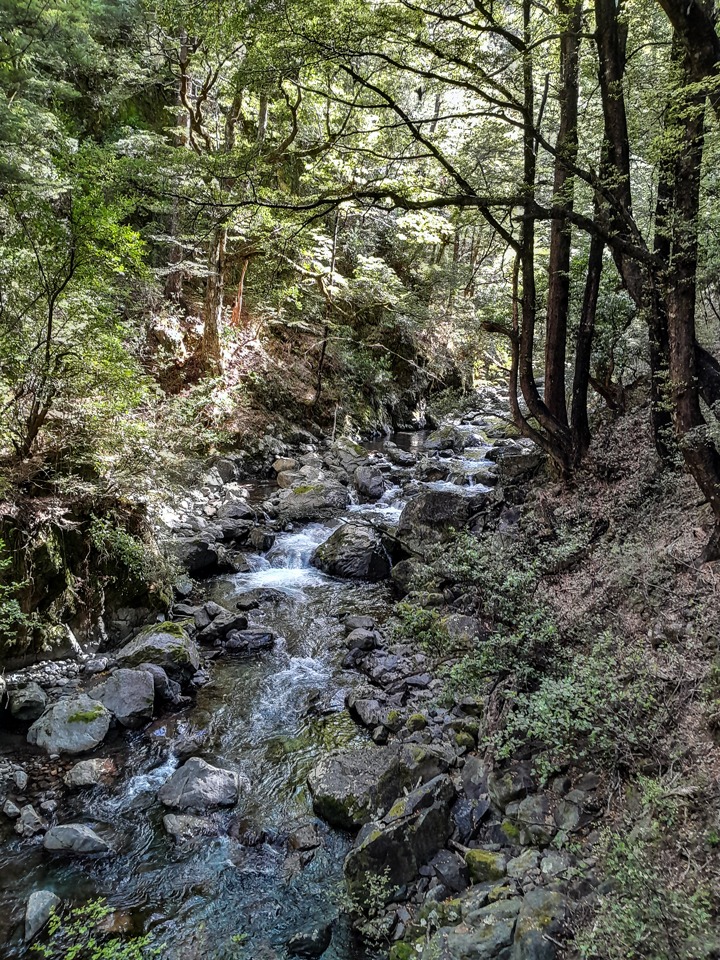
Rather than emerging from the valley very late, we chose to camp for another night. We stopped before entering the lower gorge, where suitable campsites would be difficult to find. In the warm afternoon sunshine, we dried all three tents, including the one recovered from the treefall, and went for another swim.
Later, Tony said he was trying to find some “impetus” to get moving. The word made me giggle, and I spent the rest of the trip inserting “impetus” into the conversation whenever possible.
Day 5: Hellfire Stream to the Wairau River
On our final day, we continued following the trail beside Hellfire Stream. The track traversed high above the gorge, and one steep section had an uncomfortable drop-off. For safety, we passed our packs down separately.
Tony also pointed out old blazes cut into the trees, evidence that people had travelled through this valley long before modern track markers appeared.
After reaching the Wairau River, we walked back up the valley towards the swing bridge to complete the circuit. The Nelson Tramping Club had marked this section too, although we did not know that at the time.
Instead, we ended up crawling through matagouri, only to discover that the marked route ran parallel to us. After travelling through valleys named Hellfire and Misery, it seemed an appropriate way to finish the trip.
Final thoughts on the Lees-Hellfire Circuit
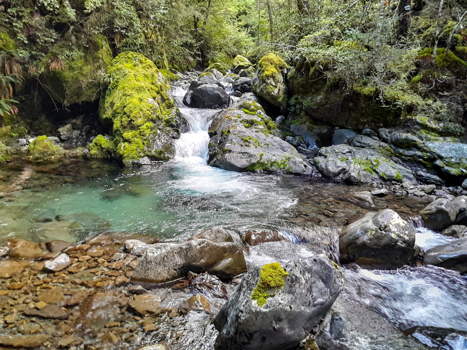
The Raglan Range may once have been called the Bounds of Hades, but it is also a hidden gem and a tramper’s paradise. It offers beautiful campsites, quiet backcountry huts, rare alpine plants and challenging off-track travel through some of Marlborough’s wildest country.
The Lees-Hellfire Circuit remains one of my favourite tramps, alongside the Turkey’s Nest and Leatham circuits. It is demanding, remote and occasionally miserable, but that is part of what makes it so much fun.
Trip completed December 2023
One response to “Lees-Hellfire Circuit: 5-Day Raglan Range Tramp”
Hi Sarah,
Joe Nawalaniec here. Your story was forwarded to me by John Rhodes, who was with me on the earlier trip that you referred to, along with Andy Dennis and Shaun Barnett. It’s a lovely part of the world, and your account brought back some very rosy memories.
So thanks for that
Cheers!
Joe