
The Avalanche-Lyell-Bealey Loop in Arthur’s Pass had been on my tramping list for ages. There was even once a race over Avalanche Peak, though unfortunately, it stopped running before I got the chance to compete. While researching the route, I stumbled across the nickname “The Triple Crown” for this loop—it stuck with me immediately and became the perfect title for this trip report.
Whether you’re looking for an alpine classic in Arthur’s Pass in winter/spring or a more challenging day trip in summer, here is what it’s like to tackle this loop in winter.
The great thing about Arthur’s Pass is that on the drive to get to the village, there are opportunities to do so many other trips along the way from SH73:
- Korowai/Torlesse Tussocklands Park: Benmore-Annavale Loop & Sugarloaf Summit & Foggy Peak, Castle Hill Peak & The Gap.
- Cragieburn Range: Mt Izard, Mt Cloudsley & the Nervous Knob-Hamilton Peak Loop.
- Arthur’s Pass: Poulter Valley-Binser Saddle Loop.
Quick Trip Overview
- Location: Arthur’s Pass National Park
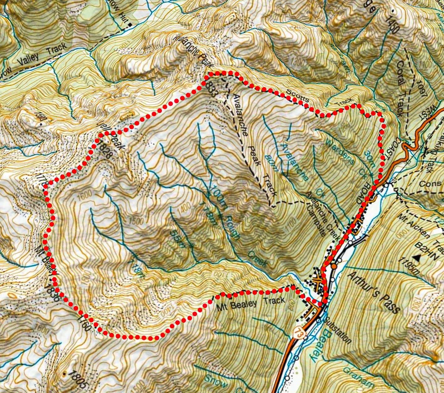
- The Route: Scotts Track > Avalanche Peak > Lyell Peak > Mt Bealey > Mt Bealey Track
- Time Taken: Approx. 7–8 hours, 1727m climbing, 13km
- Difficulty: Experienced due to route-finding requirement (in winter & spring, avalanche assessment skills are essential). A topo map with compass and GPS are essential and do not attempt in poor visibility if not confident in navigation.
- Topo Map: BV20 Otira
- Route options: There are two different track options to get to the summit of Avalanche Peak: Scotts Track (orange poles & less steep) and Avalanche Peak Track (yellow poles). These tracks both start from Arthur’s Pass Village & are 700m apart.
- Gear: The weather can change very quickly so wind and waterproof layers with warm clothes are essential. In winter/spring, a bothy bag for shelter is recommended in addition to ice-axes, crampons and helmets.
A Steep Climb: Scotts Track to Avalanche Peak (1,833m)
The climb through the bush via Scotts Track went quickly. If you are choosing between starting points, Scotts Track is generally less steep than the alternative Avalanche Peak Track. We encountered a few icy sections under the bush canopy, but they were easy enough to scramble around.
As the sun broke over the horizon, we were treated to fantastic, crisp views across to the Devils Punchbowl Falls and up toward the formidable Mt Rolleston.
Top Tip: Scotts Track is an excellent winter option as it catches the early morning sun sooner than the Avalanche Peak track.
Reaching Avalanche Peak Summit
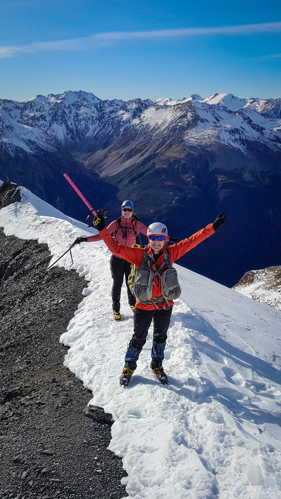
Despite it being July, a remarkably warm winter meant the snow line was quite high. The snow only started at around 1600 meters, and it was incredibly soft. We finally strapped our crampons on just before the final push to the summit of Avalanche Peak. There are fairly steep drop-offs from this route down into McGrath Creek but won’t be a problem for those with tramping experience.
The route to the top is well-marked by orange snow poles, with the Scott’s track merging with the Avalanche Peak Track (marked by yellow snow poles) just before the summit where there is fairly narrow ridge to the summit where care is required especially if icy. However, we all felt perfectly safe here as while DoC described this ridge as narrow, we all felt it wasn’t uncomfortably so even in alpine conditions. All up, it took us about 3 hours to reach the summit of Avalanche Peak, climbing 1,100m over approximately 2.5km
Traversing the Ridge: Avalanche to Lyell Peak
It was a bit breezy and cold on the summit, but the bluebird visibility made up for it. We paused briefly to soak in the panoramic views of Jellicoe Ridge and Mt Guinevere before beginning our descent.
Route Note: From here, you have options. You can head toward Lyell Peak (our route) or descend the opposite direction toward Crow Hut. For detailed navigation, the Department of Conservation (DoC) provides an excellent route guide on their website. Alternatively, you can simply descend down the Avalanche Peak Track (steeper than Scott’s track though).
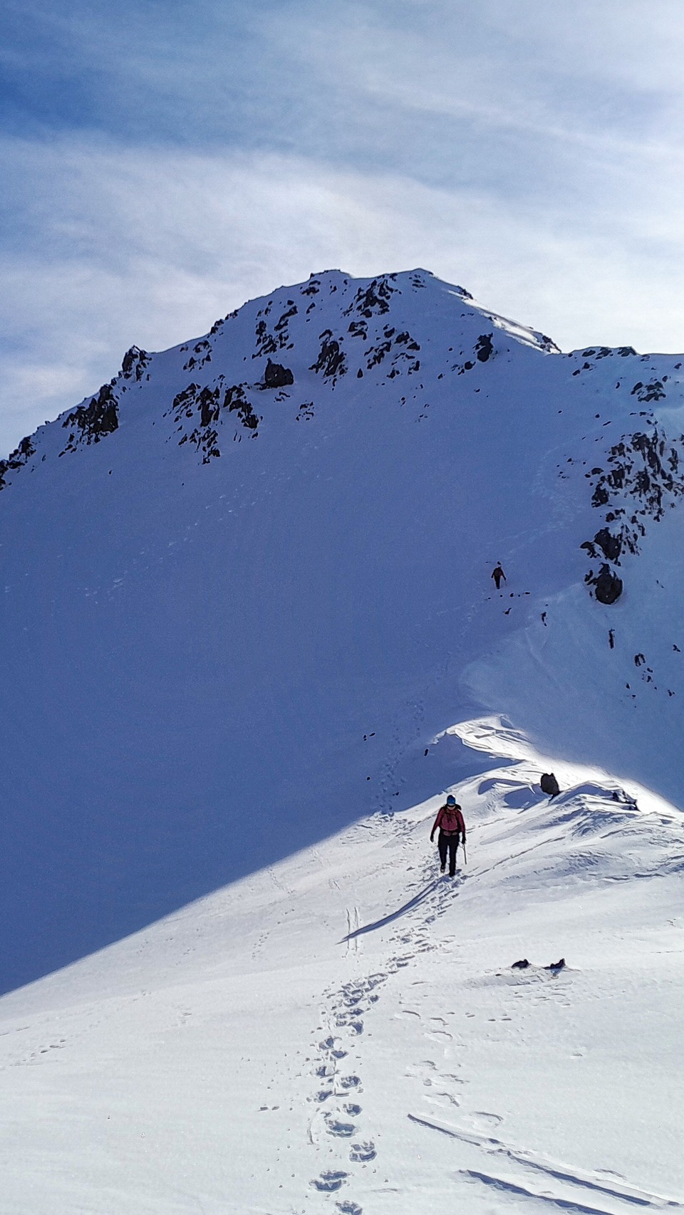
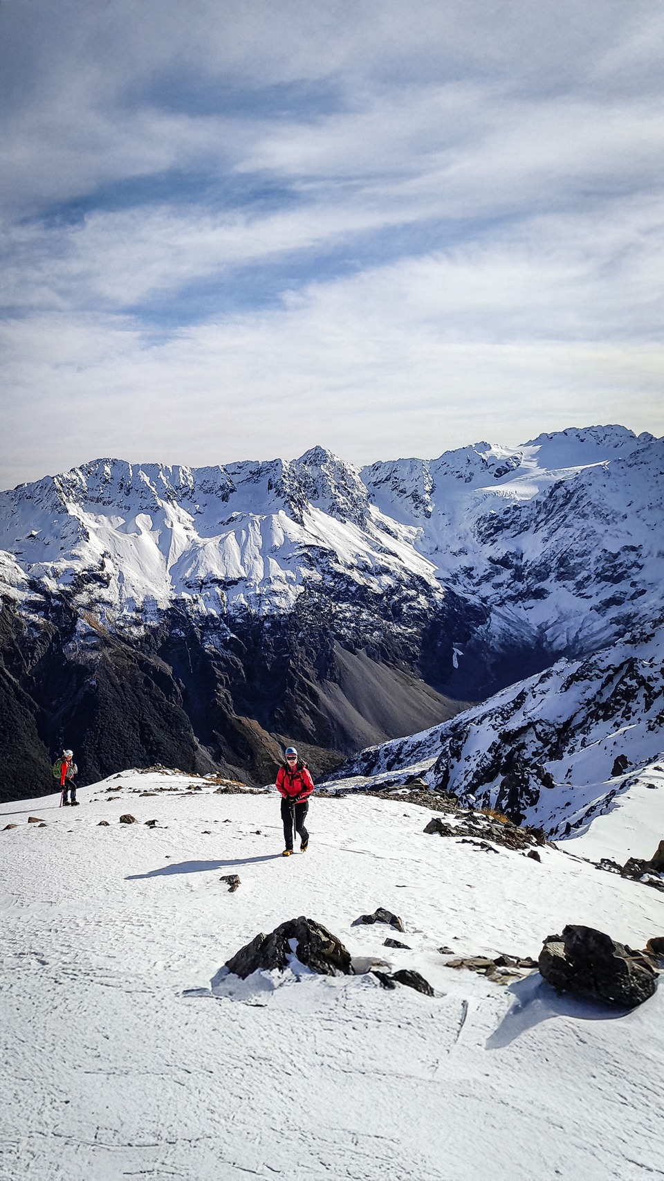
The walk toward Lyell Peak was straightforward, following a broad, open ridge. Being out in front, I found myself alternating between plugging steps through soft snow and crunching over firmer, frozen sections that made for excellent cramponing.
The Highlight: Mt Bealey Ridge & Circus of Kea
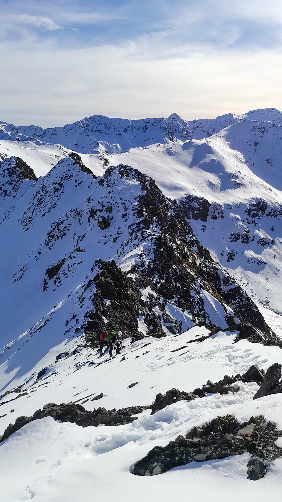
After passing Pt 1778, the ridge toward Mt Bealey narrowed and became significantly more interesting—this was easily my favorite section of the day.
This stretch requires solid route-finding skills and active avalanche risk assessment. I thoroughly enjoyed navigating this terrain, which threw a bit of everything at us:
- Short, sharp descents
- Sidling beneath the ridge line
- Navigating rocky, somewhat exposed alpine terrain
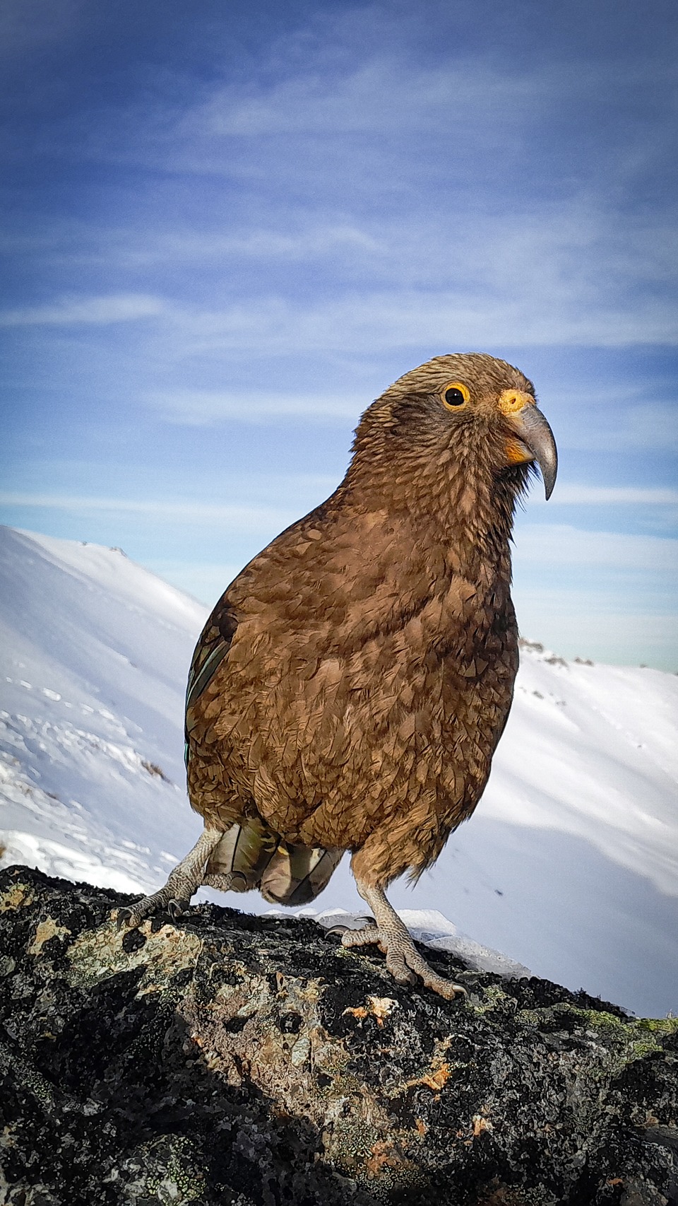
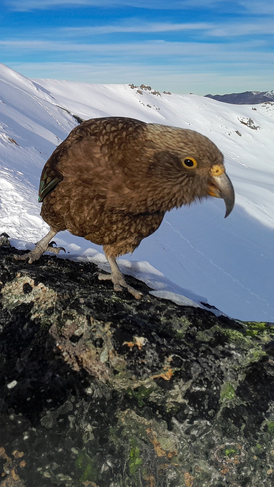
On our way to Mt Bealey, three juvenile kea dropped in to say hello. Interestingly, the collective noun for a group of kea is a circus of kea. These young kea took turns posing perfectly for photos and causing absolute mischief.
One began picking up rocks, which instantly triggered a flashback to my Mt Owen trip where a circus of kea actually rolled rocks down the hillside at us! Another brazen kea tried to execute a sneak attack on my ice axe. After we finally dragged ourselves away, the trio followed us along the ridge all the way to the summit of Mt Bealey and stuck around for part of the descent.
The Descent Back to Arthur’s Pass
From the summit of Mt Bealey, the snow quickly began to thin out, and we were able to pack away our crampons.
The route down to the bushline is well-marked by rock cairns. Once we hit the forest, the descent through the bush was straightforward—thankfully not too steep or technical on tired legs—bringing a fantastic winter day trip to a perfect close.