Ferny Gair Conservation Area – in search of the strange dinosaur cave
The story of a 5-day hike in the Ferny Gair Conservation Area including a route guide and photos.
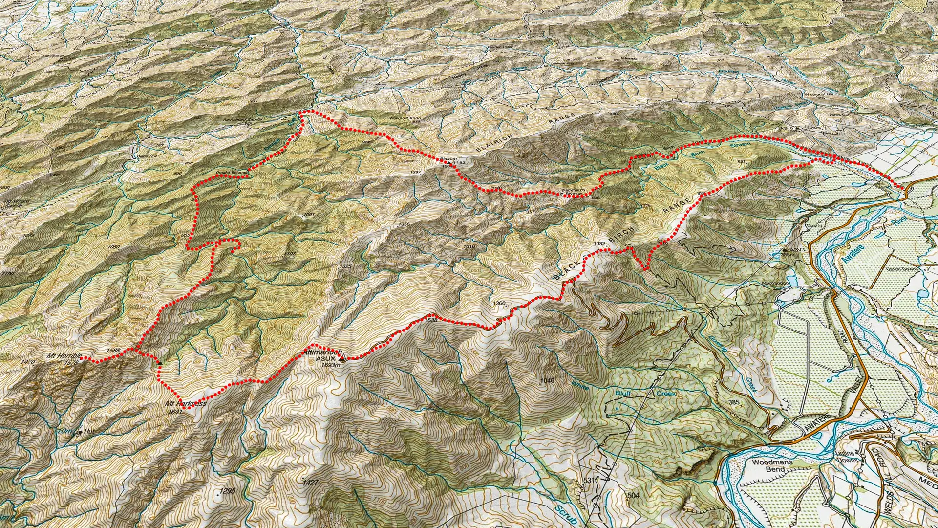
Hidden within the rugged terrain of the Ferny Gair Conservation Area lies a mystery that only a topo map and a bit of curiosity could solve: a lone cave icon sitting silently below Mt Harkness. Intrigued by the prospect of a “secret dinosaur cave,” Tony, Matt, and I set off from the Awatere Valley on a five-day loop that would test our navigation and our patience. From melting in 30-degree heat near Black Birch Biv to “frogmarching” through dense matagouri and unexpected bush bashes, this wasn’t just a follow the triangles tramp — it was a fun but challenging off-track odyssey through some of Marlborough’s most unforgiving and beautiful backcountry.
Tony and I had both been wanting to visit Ferny Gair Conservation Area for a while having driven past it a number of times, just 30 minutes south of Blenheim, on the way down south and we had both noticed the cave icon on the topo map below Mt Harkness.
Intrigued, I came up with a loop from Awatere Valley that would circumnavigate a large area of Ferny Gair Conservation Area including a visit to what I referred to as our “secret dinosaur cave.”
Matt had driven up from Darfield to join us. None of us really knew what to expect as past Black Birch Biv there wasn’t a lot of information avajlable.
It was a hot 30 degree day as we started our walk from Awatere Valley so we were glad to get some shelter from the manuka trees and we all jumped into Black Birch Stream to cool off before the climb to Black Birch Biv.
It was an easy track but we were all melting in the heat. Even a dragonfly landed on my pack and tried to hitch a ride up the hill to save the effort of flying.
Not far before the saddle we came across an old farming fence. I’m not sure why but I often seem to be following fences especially on trips with Tony.
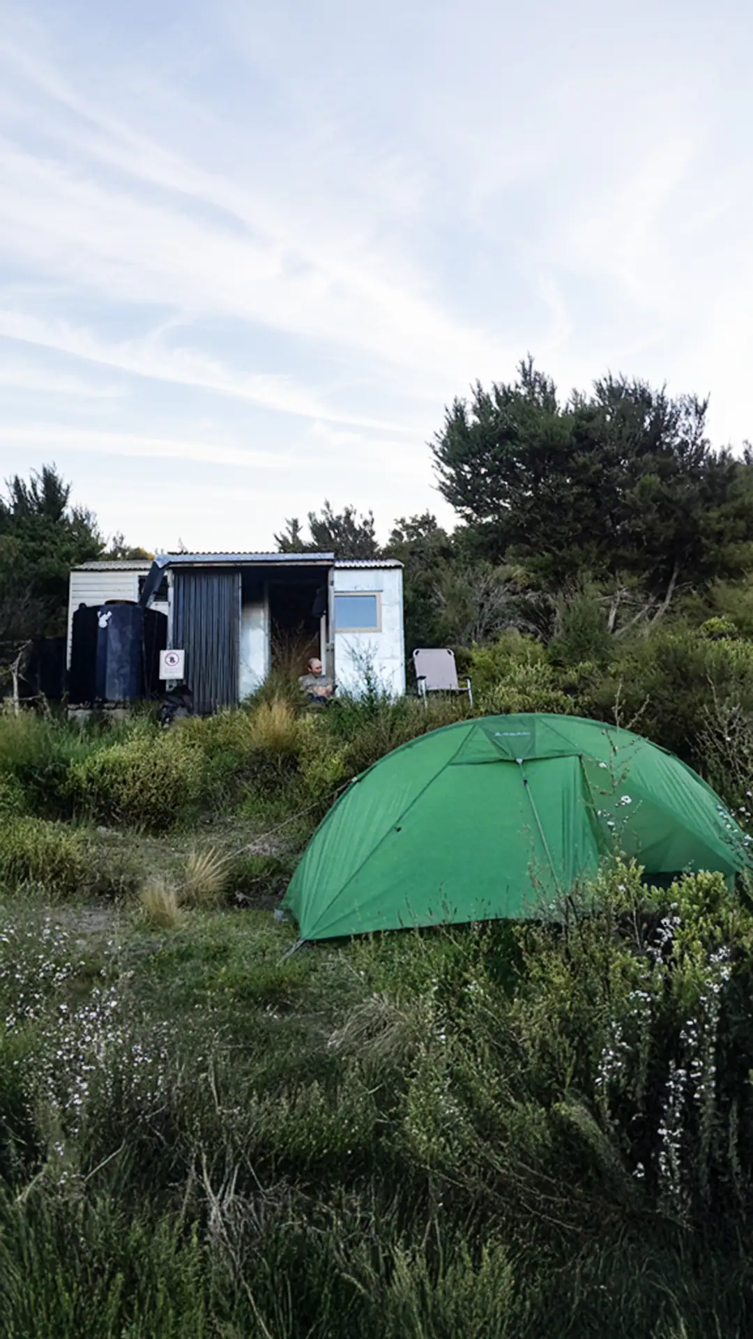
We were all glad to see Black Birch Biv where we would be stopping for the night. The bivvy is located in a great spot with views right down the Black Birch Valley that the track follows up and we could see all the way across to Makara in the North Island.
I left the two-person biv to the boys so I could enjoy a night out in my tent, with the bonus of getting to see all the stars, the red moon from the lunar eclipse. I could clearly see the lights and peaks of North Island.
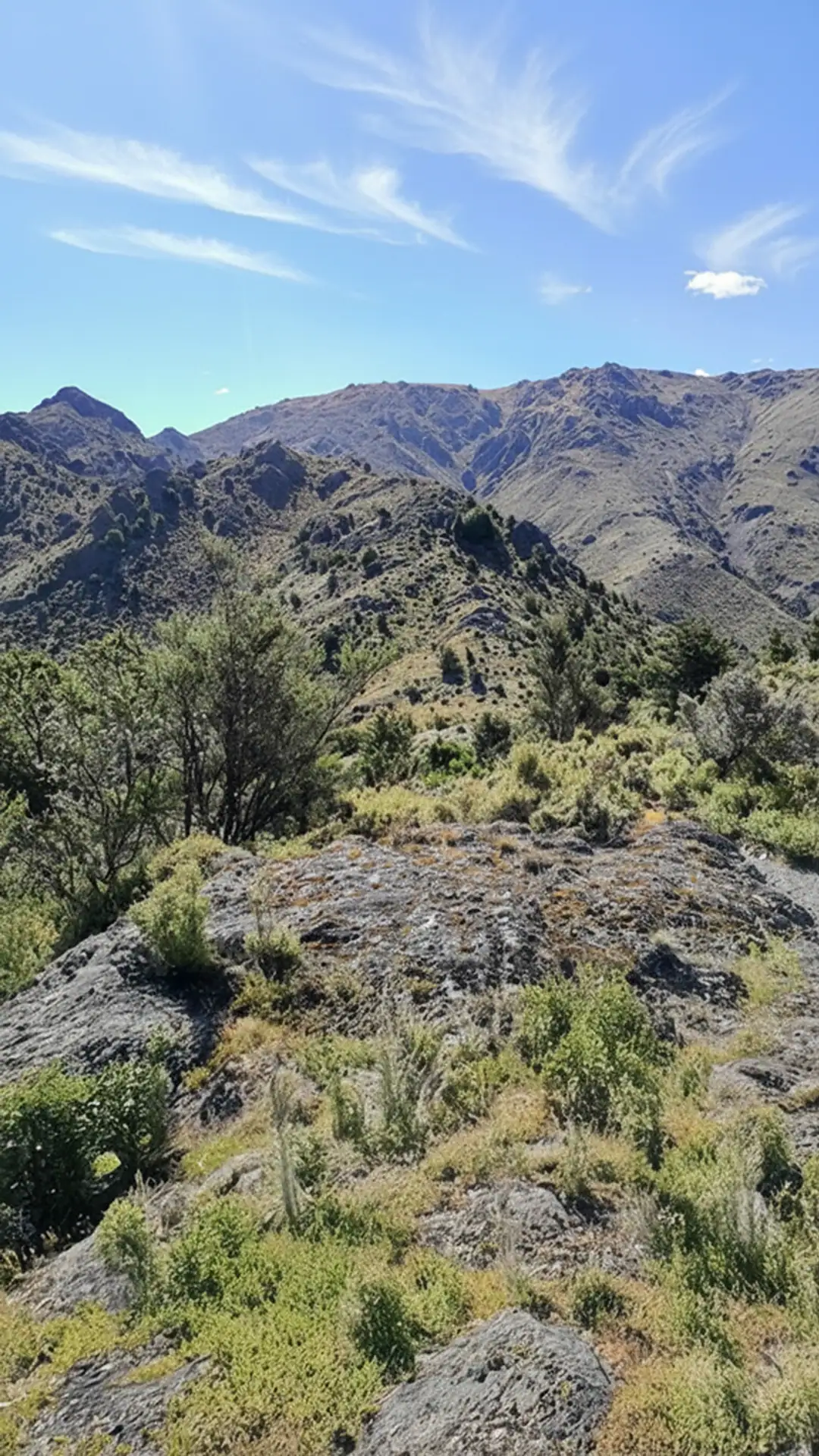
Wednesday started with a long climb up to Blairich from the saddle above Black Birch Biv. There was a faint foot trail through to pt 1187, sidling under a few rocky towers. The landscape was quite different to what I was used to with the strange shaped rocky outcrops scattered everywhere.
We could see across to Altimarloch that we would eventually loop past in a few days. Matt routinely checked our elevation to see how much further we had to climb and kept getting the answer of a long way.
When I made it to the summit of Blairich I was blasted by a strong cold wind and started cooling down quickly while waiting for the others.
By the time Matt reached the summit I was sitting inside my bothy bag. After waiting a while for Tony and not having him appear, I went back down the hill looking for him. After walking down further than where I expected him to be, I turned around and Tony appeared on the skyline having evaded both Matt and I. He had passed through slightly to the west of the summit by just a few metres and completely missed us. After having a laugh about us misplacing each other momentarily, we continued down a scree slope next to the fence-line that we would be following right down to the Omaka River.
It was a steep and slow descent interspersed with a few bashes through matagouri. Once we got further down, it again got very hot with temperature hitting the 30 degrees mark again, a stark contrast to how cold it had been on Blairich summit.
We found shelter for lunch in the shade of a tree and discussed the plan for the rest of the day, a trip based on the slow progress we had made coming off Blairich.
While the south side of Blairich was all good, this was slow going and getting to Lake Alexander was certainly off the cards for the day and that meant we would be struggling to complete our original loop in the time we had.
We hatched an alternative plan of dropping down to Omaka Biv for the night and then bush bashing up to pt890 and 855 before gaining 1588 to continue our loop around to the cave and Mt Harkness.
I had been talking about doing a side trip down to visit Omaka Biv before this alternative plan and Tony had stated that he wouldn’t be going as he was studiously avoiding going to the biv. Recognising the irony of our new situation, he said that he was now being “frogmarched” to Omaka Biv.
It turned out that he really enjoyed it – the birdlife was wonderful and he just sat and listened to them for a long time and there was also a nice swimming hole in the river by the hut.
We found in the hut book that the last visitors had been in October and Nina and James, who we have done many similar trips to, were also in the hut book. They had come the opposite direction as us and had written that they had stopped here for a break before continuing onto Black Birch Biv for the night.
It seemed an impossibly long day for winter and was a mystery for the rest of the trip until we got out and could look up their trip and see what they had actually done.
The next morning we started into a bush bash straight up behind the hut.
Initially, it seemed fine as we found a number of good animal trails and the bush was relatively clear but progress slowed the higher we got.
After getting to the saddle between 890 and 855 mid afternoon and seeing the distance and climb through the bush we still had to do with our slow progress, we decided to change plans yet again and drop down the 200m to Omaka River as we were all running low on water and didn’t want to be stranded on the ridge in the bush with no water for the night.
We thought we might try following the Omaka River up to see if that was quicker because from Nina’s entry in the hut book, it seemed they had possibly done that.
After about 45 minutes we had made little progress as we had to do a high sidle over a deep pool and the river was looking a bit gorge-like and had no camping spots.
We decided it would probably be ok coming down the Omaka River but trying to go up was a bit harder and slower as one of the spots where we had done a high bypass sidle, we could just slide off a large boulder on the way back down.
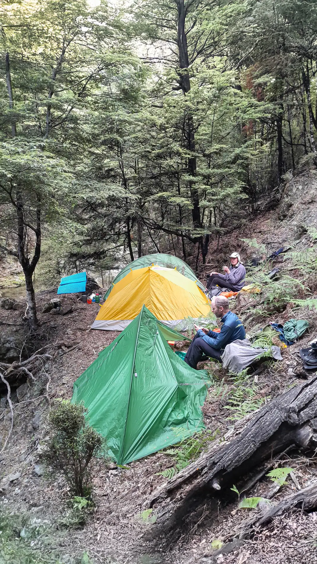
We ended up back at the stream we had followed down from the saddle and found a small flat area to pitch our tents for the night.
We hadn’t made much progress for the day but at least we had water and somewhere to camp!
Over dinner, we discussed our options again. Retrace our steps to Omaka Biv and head back to Blairich the same way or continue on with our bush bash but take the spur up from the stream rather than climbing back the saddle and climbing from there.
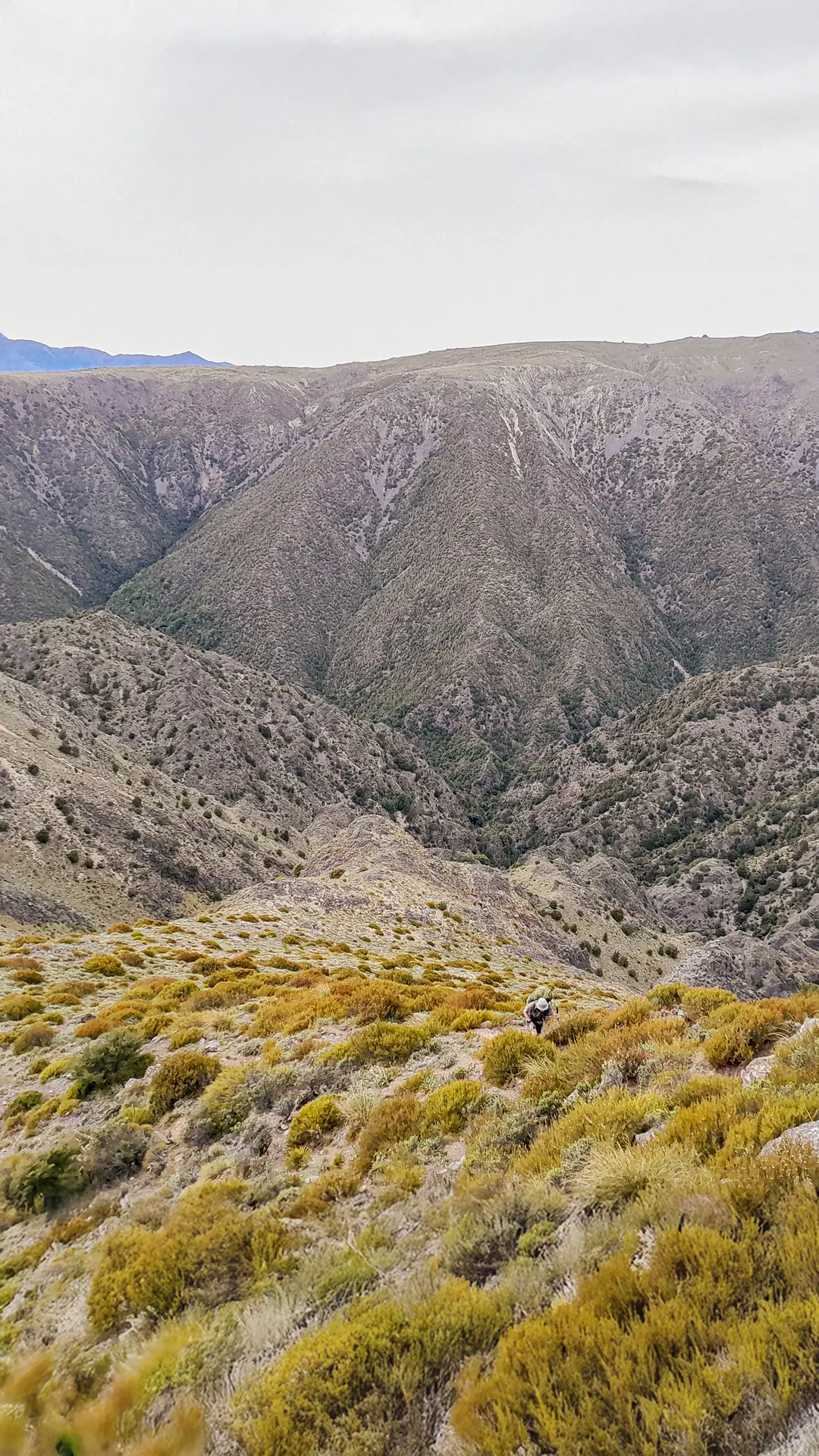
This spur turned to be a good decision. We made better progress although the bush was still dense and a few bluffs to navigate around as we got higher.
We even found a rock biv that was more secret than our one as it wasn’t marked on the map.
Even though the bush section was hard work, we enjoyed the bird life. During one break we had a tree full of robins and fantails next to us.
It was very satisfying when we finally reached the edge of the bush.
We saw a few dead wilding pines that DoC had heli sprayed but found one live one that we dealt to with a saw.
On the first bump to the north of pt 1588 we had lunch and decided to see if we avoid going along all the way to 1588 and rather descend and do a sidle to the bush from there.
Tony found a great scree slope and we went speeding down.
I was delighted when I found a penwiper in flower on it. Having found some penwipers in the Raglan Range previously, it was great to see more again.

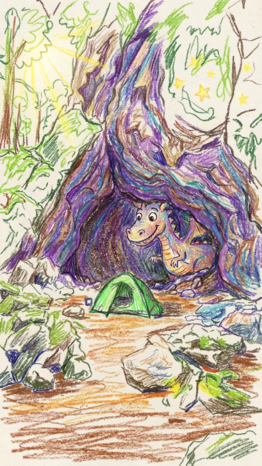
We used our GPS to pinpoint the cave which turned out to be a few rock bivs/rock overhangs.
Tony camped under one and I camped under the other which we called my “dinosaur nest” since my tent was in a little hollow area under the biv.
We were happy to have found the ‘dinosaur cave’ but disappointed that the supposed occupants were not at home.
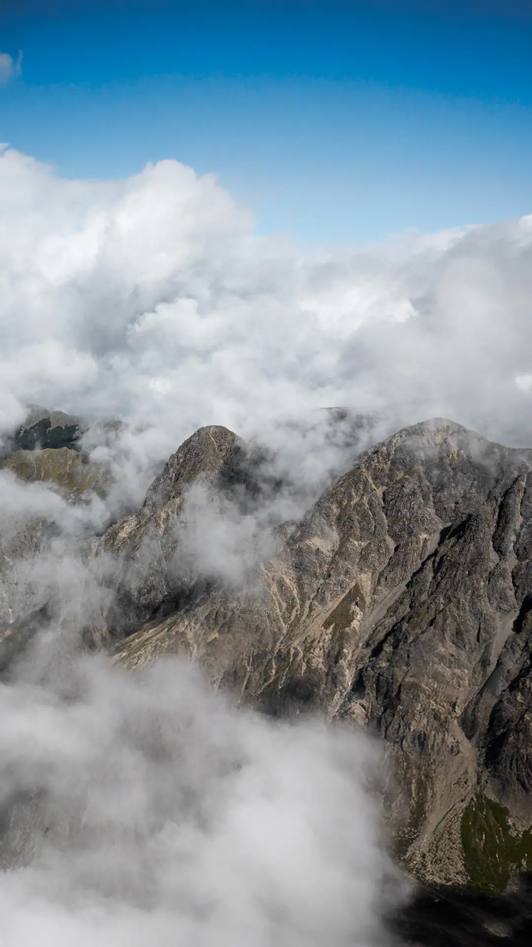
The clag rolled in as we set up camp but I was still determined to pay a visit to Mt Horrible so I did a solo trip up to see the inside of a cloud on Mt Horrible which seemed fitting.

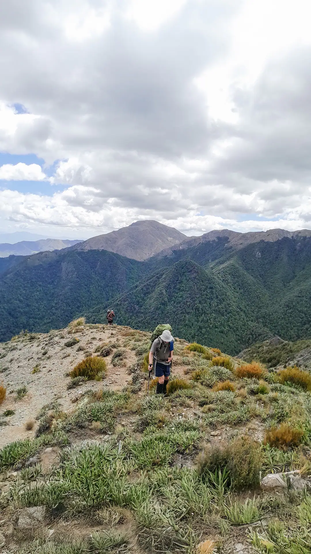
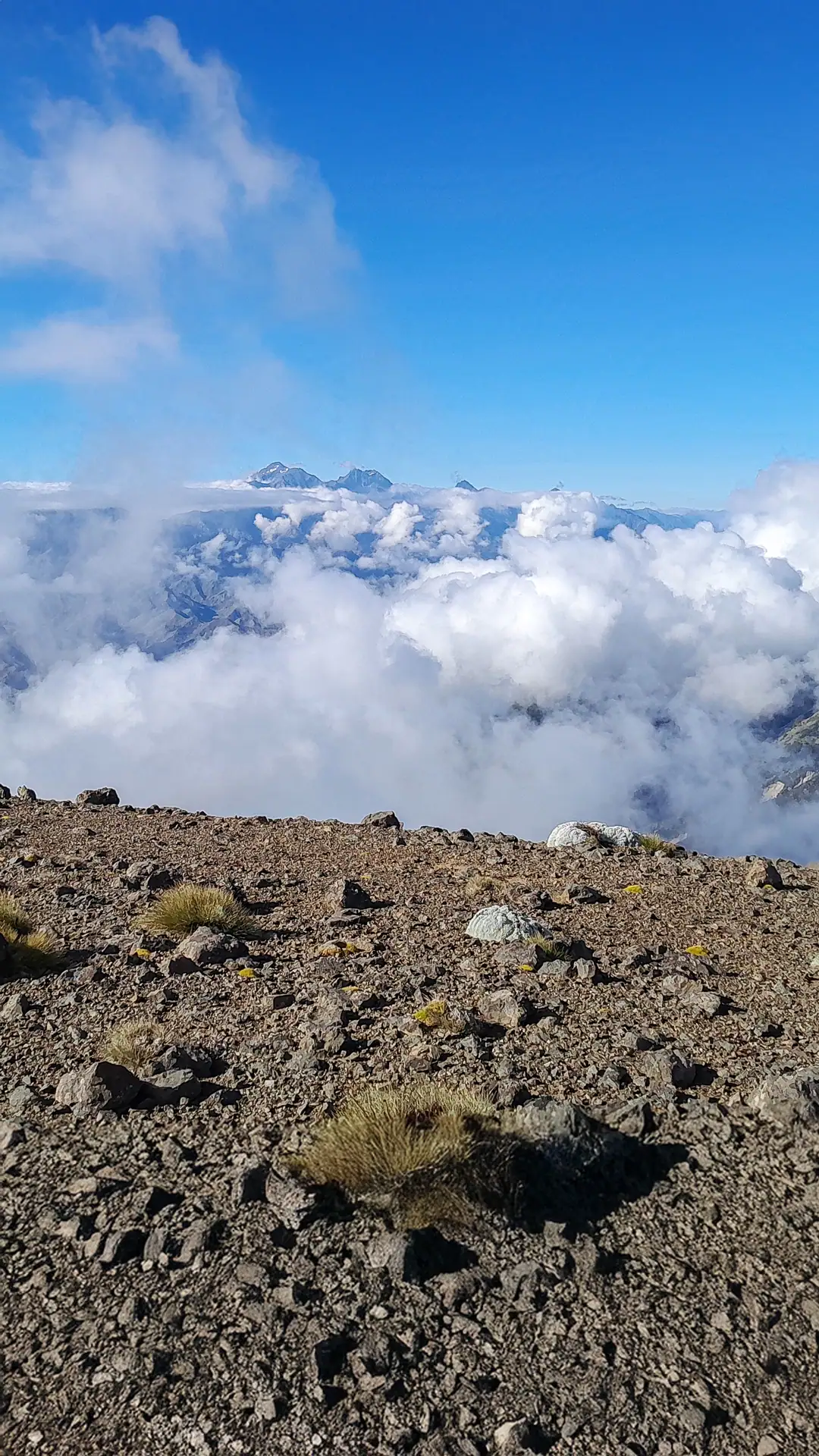
Climbing out of the bush the next morning on our way to Mt Harknes we had great views across to the Kaikōura Range with the top of Tapuae-o-Uenuku pointing out above an inversion layer.
We met a group from the botany and tramping club in Nelson and they were very interested in what we had done.
One of them was Jan, whose name I had seen in the Black Birch and Omaka Biv Hut books multiple times. We were even more surprised when it turned out that she had come across the trip report for a trip Tony had done into the Kaikōura Range to Hornby Biv.
She was leading a project to restore the huts and bivvys in the range and wanted to know the colour of the roof so they could repaint the roof the original colour.
Tony sent her some pictures of Hornby Biv on our return to Wellington
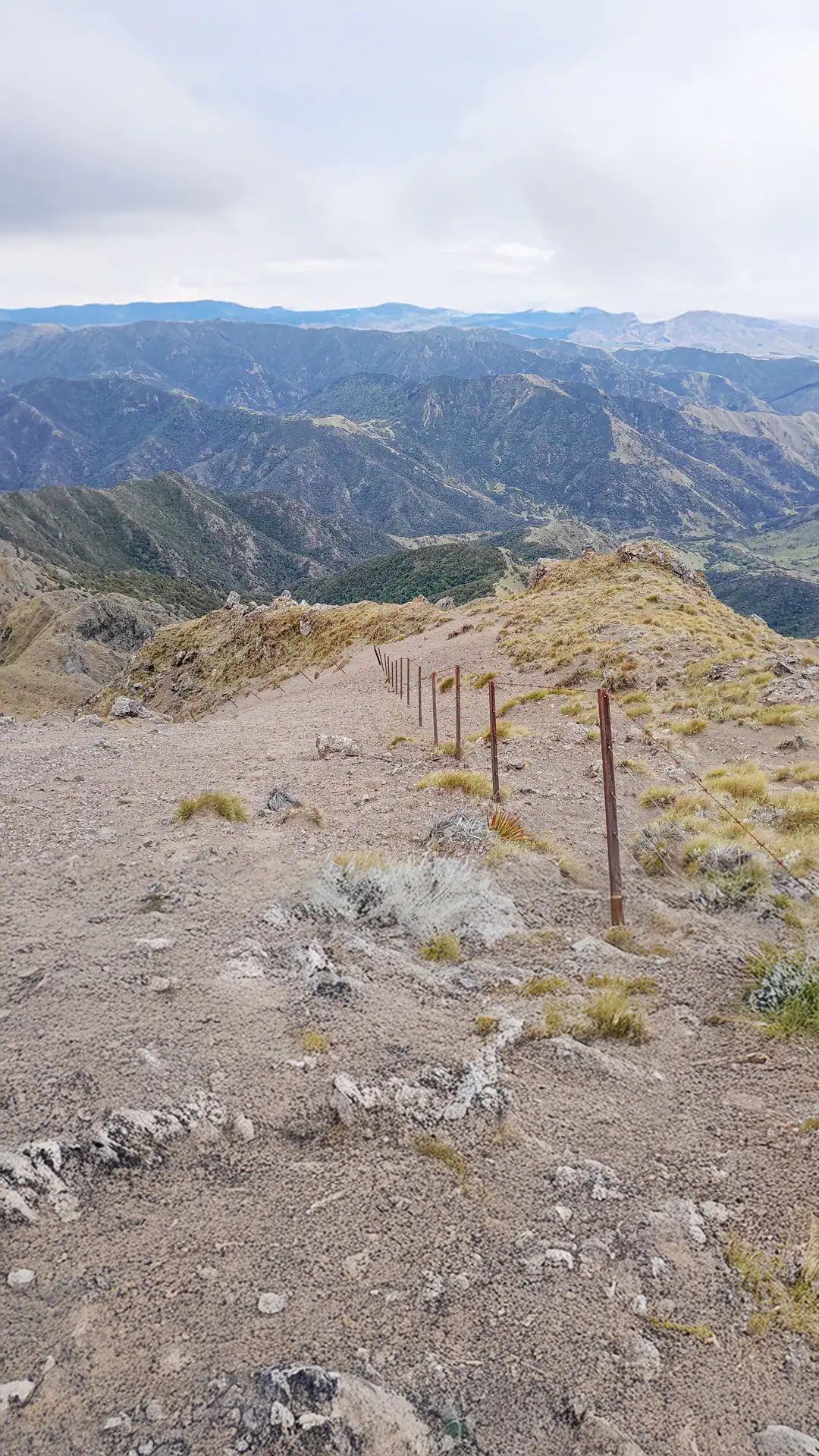
We left the road partway down on the track that took us to 1082 and then we had to bush bash down to pt 916 before we could follow the fenceline down through a more open area. Luckily again, we found a number of foot/animal trails otherwise it would have been a very slow bushbash despite the short distance we had to cover. It was an easy descent from here back to the floor of the Awatere Valley, although we had to scale a few deer fences and pass packs over
Ferny Gair Conservation Area delivered a fantastic and challenging 5 day tramp, that was mostly all off track and through varied terrain. While in some areas the bush had been chewed away by the goats and deer with no secondary growth, in other areas we found prolific young beech trees – and the bird life was noisy and abundant.
We will definitely be back again to visit Lake Alexander and Ferny Gair peak itself.
Day 1: Awatere Valley to Black Birch Biv: 4hrs, 923m elevation, 9.5km
Day 2: Black Birch Biv to Omaka Biv via Blairich: 6 – 8 hrs, 1,161m elevation, 9.5km
Day 3: Omaka Biv to Omaka River campsite via pt 890 and trial of Omaka River route: 6-7hrs, 720m elevation, 5.5km
Day 4: Omaka River campsite up spur from saddle stream to pt 1588 ridge and cave: 5-7hrs; 1038m elevation, 3.5km
Day 5: Cave to Mt Harkness & Altimarloch and Awatere Valley via pt 1082, 916 & 826: 7hrs, 763m elevation, 19km.