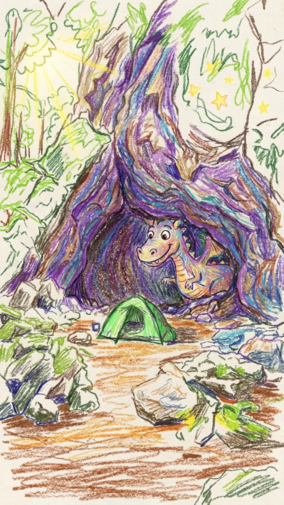
Hidden within the rugged terrain of Marlborough’s Ferny Gair Conservation Area lies a local mystery: a lone cave icon sitting silently on the topographical map below Mt Harkness. Intrigued by the prospect of finding a “secret dinosaur cave,” Tony, Matt, and I set off from the Awatere Valley on an ambitious 5 day tramp to hunt for it.
From melting in 30-degree heat near Black Birch Biv to “frogmarching” a tramping buddy down a valley and long bush bashes and scaling deer fences, this was no simple “follow-the-orange-triangles” tramp. It was a challenging, deeply rewarding off-track adventure through some of Marlborough’s more rugged and less travelled backcountry.
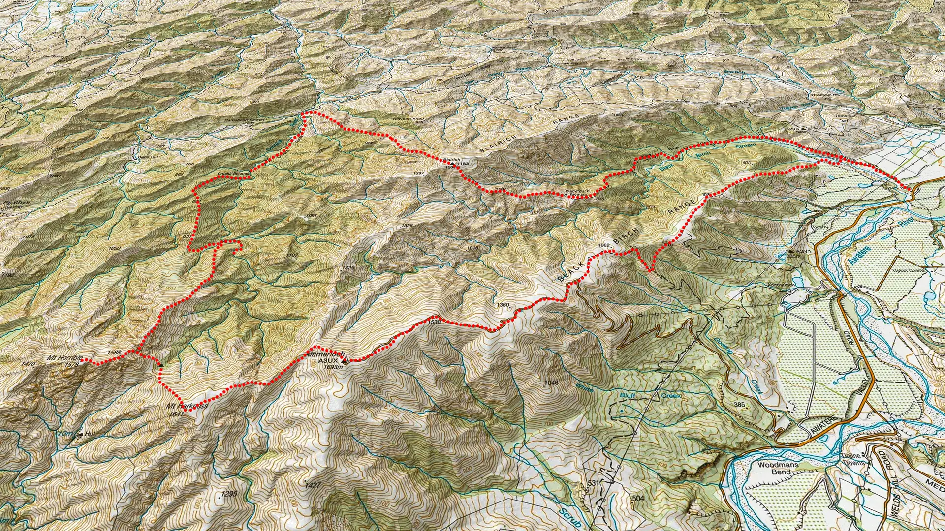
A Mysterious Dinosaur Cave in Ferny Gair Conservation Area
Tony and I had been eyeing up the Ferny Gair Conservation Area for a while. Located just 30 minutes south of Blenheim, we had driven past it countless times on State Highway 1. We had both independently noticed the curious cave icon below Mt Harkness.
I put together an ambitious loop starting from the Awatere Valley. A large loop of Ferny Gair that included a visit to our “dinosaur cave.”
Our friend Matt drove up from Darfield to join us. None of us really knew what to expect. Past Black Birch Biv, reliable track information was notoriously hard to come by.
Fast Facts – Planning Information
- Location: Ferny Gair Conservation Area, Marlborough, New Zealand
- Map: BR28 Blenheim
- Distance: ~47 km total & 4,605m elevation climbed for the loop
- Duration: 5 Days / 4 Nights
- Difficulty: Hard / Expert due to extensive off-track navigation, dense bush bashing, steep scree, and exposed ridgelines
- Start / Finish: Awatere Valley Road, Marlborough (40 mins south of Blenheim)
- Huts: Black Birch Biv (2 bunks), Omaka Biv (2 bunks)
- Best Season: Late Spring to Autumn (November – April)
- Dogs: Yes, with DoC permits only
- Another Ferny Gair Conservation Area tramp: Lake Alexander Hut & Penk Hut
Our Ferny Gair Trip Overview
| Section | Time (hr) | Elevation Gained (m) | Distance (km) |
| Awatere Valley → Black Birch Biv | 4 | 923 | 9.5 |
| Black Birch Biv → Omaka Biv | 6 – 8 | 1,161 | 9.5 |
| Omaka Biv → Camp spot at Omaka River east of pt 855 | 6 – 7 | 720 | 5.5 |
| Omaka River camp spot → Cave | 5 – 7 | 1,038 | 3.5 |
| Cave → Awatere Valley | 7 | 763 | 19 |
Day 1: Awatere Valley to Black Birch Biv
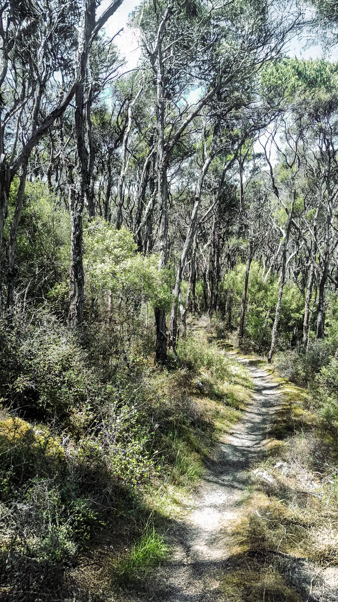
It was a sweltering 30-degree day as we set off up the Awatere Valley. We were deeply grateful for the canopy shade provided by the mānuka forest. Black Birch Stream was perfect to cool off in before tackling the steep climb up to the ridge.
The trail was straightforward, but the summer heat was oppressive. A friendly dragonfly even landed on my pack to hitch a free ride up the hill. It was simply too hot to fly!

Not far below the saddle, we picked up an old farm fence line. This seems to be a recurring theme on my trips with Tony. Shortly after, the welcome sight of Black Birch Biv came into view.
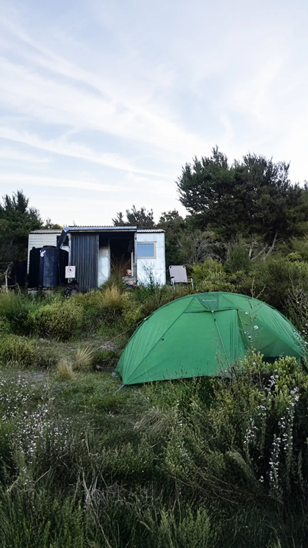
The two-bunk bivvy is positioned in a stunning location with expansive views down the Black Birch Valley, stretching all the way across Cook Strait to Mākara in the North Island.
I let the boys take the bivvy while I pitched my tent outside. It paid off: I was treated to a brilliant night under the stars, a stunning red moon from a lunar eclipse, and the sparkling distant lights of the North Island.

Day 2: Black Birch Biv to Omaka Biv via Blairich Peak
Wednesday began with a long, steady grind up toward Mt Blairich from the saddle above Black Birch Biv.
A faint foot trail led us toward Pt 1187, sidling under towering, oddly shaped rocky outcrops that gave the terrain a prehistoric feel. Certainly the place dinosaurs in caves were likely to hang out around. To the west, we could see Altimarloch—a peak we were scheduled to loop past in a few days’ time. Matt periodically checked his altimeter to gauge our remaining climb, constantly met with the same answer: a long way still to climb.
When I finally crested the summit of Blairich, I was hit by a freezing wind. I had to shelter inside my bothy bag to stay warm while waiting for the boys.
Matt turned up but with no Tony behind him. After a long wait, I backtracked down the ridge to find Tony, getting increasingly concerned when he was nowhere to be found. Hilariously, Tony had passed just a few meters to the west, bypassing the summit altogether, and completely missing both Matt and me sitting there waiting there for him!
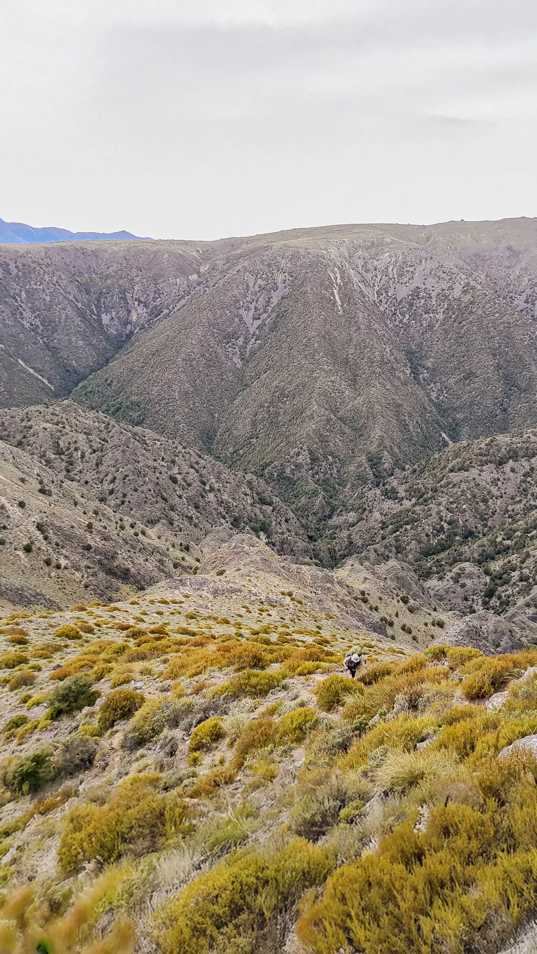
After a good laugh over his temporary disappearance, we regrouped. It was a steep scree descent along another old fence line towards the Omaka River. There were no cairns or track markers now. We were now on our own.


The Frog-march to Omaka Bivvy
The descent was slow and brutal, mixed with thick matagouri bashing once we got lower down. We stuck to the fenceline as much as possible. Down in the valley, the temperature soared back to 30°C. It seemed almost improbable after being so cold on the summit of Blairich. Realizing our slow pace due to the terrain and heat meant our original goal of reaching Lake Alexander by the end of the day was out of the question, we now needed a Plan B.
We hatched a new route: drop down to Omaka Bivvy for the night, bush bash up Pt 890 and Pt 855 the next day.
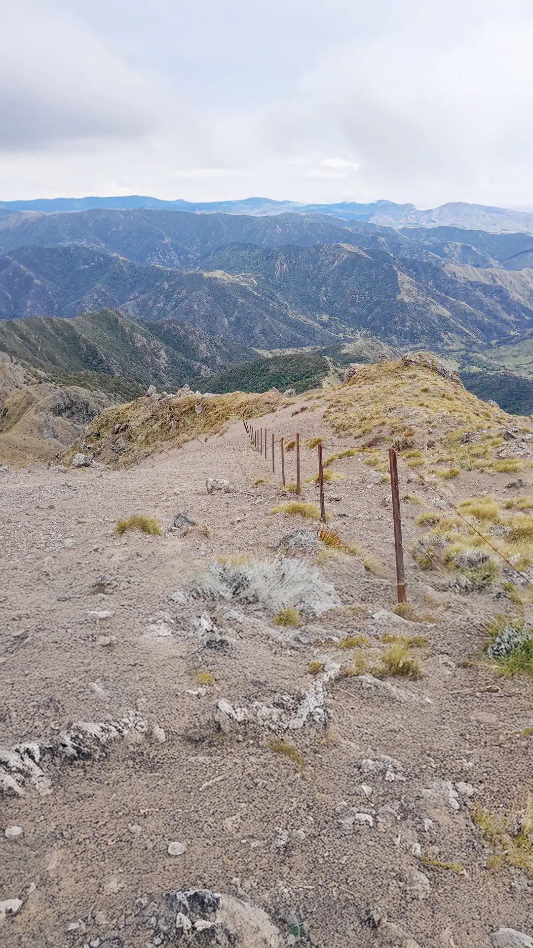
Prior to the trip, Tony had explicitly stated he was going to studiously avoid the detour to Omaka Biv. Acknowledging the irony of the situation, he joked that he was now officially being “frog-marched” there. Instead of following the fenceline all the way down to the 4WD by Omaka River, we cut the corner and dropped down into a stream before gaining the Omaka Route
Our new plan B proved to be a blessing in disguise. The area surrounding the bivvy was teeming with native birdlife and even included a perfect swimming hole. I decided to put the hut’s spare mattress on the ground as the ground surrounding the hut was pretty lumpy for camping.
⚠️ Route warning: The Omaka Route is a little overgrown and eroded in sections but still relatively easy to follow. It is more technical than the Black Birch Bivvy track.

Day 3: The Bush Bash From Omaka Biv to Omaka River Campsite
We started the morning with a direct bush bash straight up the spur behind Omaka Biv.
Initially, progress was decent thanks to well-trodden animal trails and relatively open beech forest. However, as we gained height, the undergrowth thickened dramatically.

By mid-afternoon, we reached the saddle south of pt 855. Looking at the remaining vertical climb through dense bush and low on water, we made the call to drop 200m back down to the Omaka River to guarantee a campsite with fresh water.
We attempted to walk up the Omaka River to see if it offered faster travel than the ridge we had been on. After 45 minutes of high-sidling around deep river pools and gorged-out sections, climbing over fallen trees, progress ground to a halt. Traversing down the river might work in low water, but pushing upstream was a losing battle and we admitted defeat.
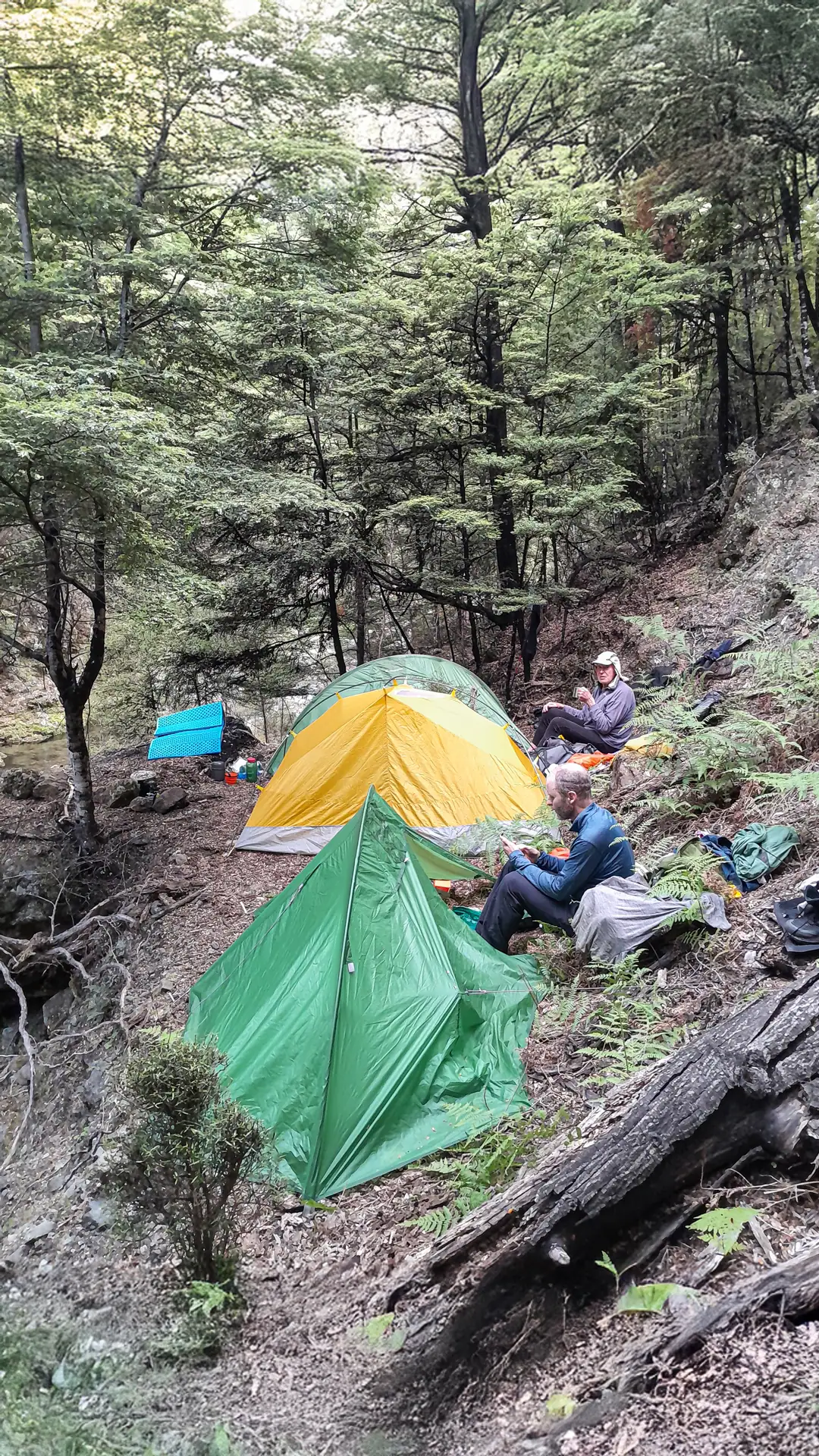
We backtracked to the base of the saddle stream, pitching our tents on a very small flat grassy area on the bank of the river. We hadn’t covered much distance, but we had clean water, good food, and a safe campsite for the night.
Day 4: An undiscovered “Dinosaur Cave”
- 5–7 hrs | 1,038m elevation |3.5 km
Over dinner, we mapped out a fresh strategy yet again: instead of climbing back to the Pt 855 saddle, we would bush bash directly up the main spur rising from our campsite stream.
This turned out to be a fantastic move. While the bush was still thick and required careful navigation around a few bluffs, our upward progress was steady. Along the way, we even stumbled across a hidden, unmarked rock bivvy high on the ridge. This “dinosaur cave” was not marked on the topographical map and possibly only the resident dinosaurs and now us knew of its existence.
The birdlife along this untouched ridge was incredible despite the undergrowth having cleared being chewed up by goats and pigs—at one rest stop, we were surrounded by a dozen curious South Island robins (toutouwai) and fantails (pīwakawaka).
Breaking out of the bush line finally was a huge relief. Near the tops, we spotted several dead wilding pines killed by aerial spraying, and used our pocket saw to dispatch a rogue live one for good measure.

Reaching the bump north of Pt 1588, we stopped for lunch. To avoid the full ridge traverse to Pt 1588, Tony spotted a fast scree run dropping down toward the headwaters where the cave was marked. We skied down the scree slope in joy, where I was thrilled to find several penwiper plants (Notothlaspi rosulatum) blooming! I have found these fascinating resilience plants in the Raglan Range on the Lees-Hellfire & Silverstream-Bull Paddock-Siberia Hut Loop.


The Hunt for the Dinosaur Cave & Climbing Mt Horrible
Using GPS to pinpoint the map icon, we finally reached our destination. The “dinosaur cave” revealed itself to be a series of large, overhanging rock overhangs in close proximity to each other. They may not be the perfect rock bivvies that can be found further south, but they sure were fun to hunt for.
While the prehistoric occupants were sadly not at home, the site offered excellent shelter from the increasing wind. Tony set up under the primary overhang, while I pitched my tent in the small space under another rock overhang—my very own “dinosaur nest.”

As clag rolled over the basin, I made a quick solo dash up to the summit of nearby Mt Horrible, appropriately spending a few minutes staring into the thick whiteout before returning to camp for the night.

Day 5: Mt Harkness & Altimarloch
- 7 hrs | 763m elevation | 19 km
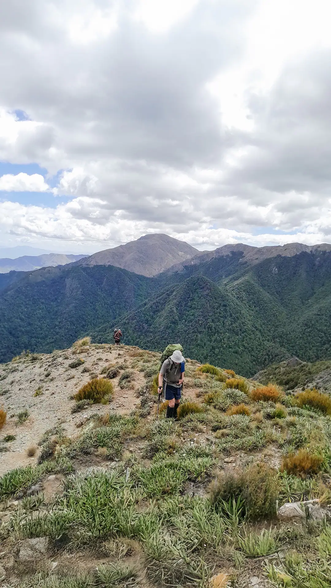
We awoke to a crisp morning and climbed out of the basin towards Mt Harkness. As we gained the main ridge, the cloud cleared to reveal breathtaking views across to the Inland Kaikōura Range, with the majestic peak of Tapuae-o-Uenuku poking through a dramatic inversion layer.

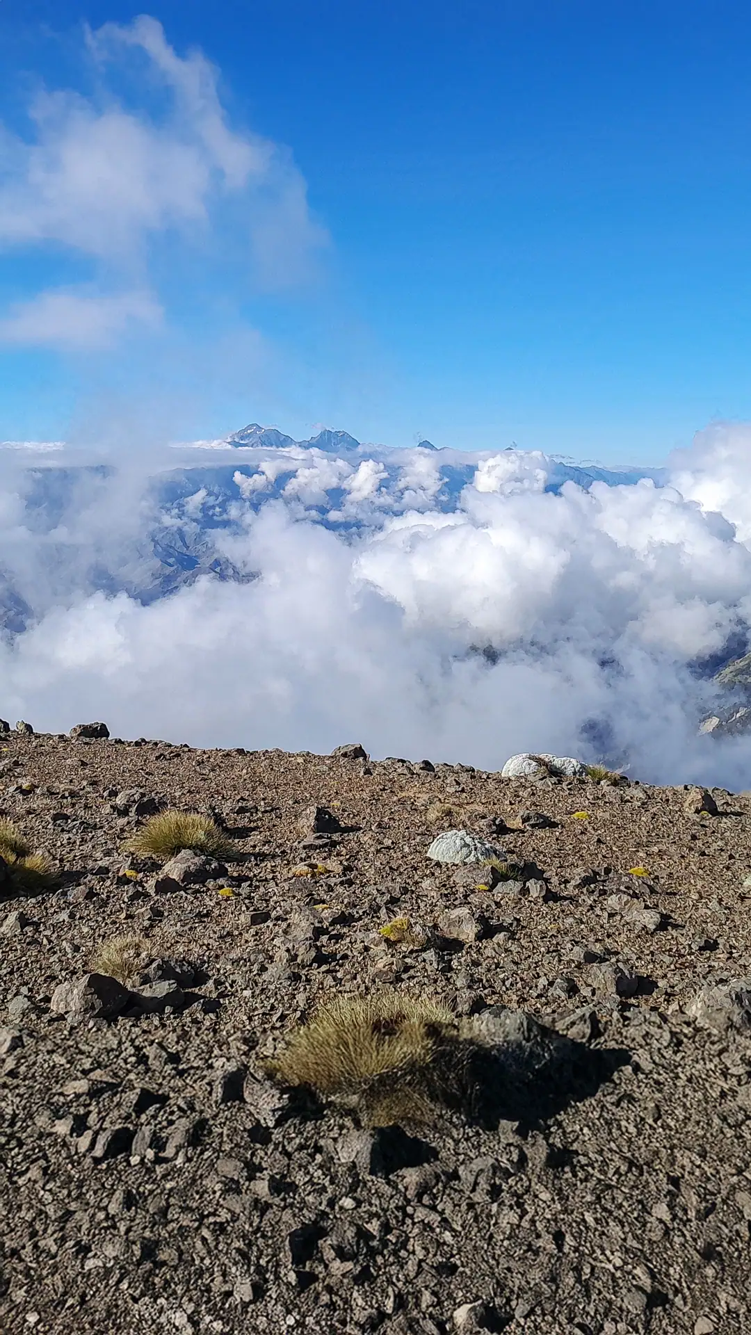
On the climb to Altimarloch, we came across a tent with no one home. It was a surprising find after seeing no one the last 4 days. We couldn’t see the hunters but we left them a smiley face outside their tent to let them know a pack of dinosaurs had wandered past.
Walking down the road from Altimarloch, we bumped into a group from the Nelson Botany & Tramping Club who had driven up the 4WD road. In a wonderful twist of backcountry fate, one of the trampers was Jan, whose name had featured in both Black Birch Biv and Omaka Bivvys’ hut books multiple times.
Jan was leading a local hut restoration project in the Kaikōura Range and recognized Tony from an online trip report he’d written about Hornby Biv. She was trying to identify the original paint color of Hornby Biv’s roof so her team could restore it accurately—a detail Tony was able to supply via photos once we got back home!

Hurdling Deer Fences Back to Awatere Valley
We left the road and headed towards pt 1082 where we picked up a marked track again for a short stretch before embarking on one final bush bash towards pt 916.
From Pt 1082, we embarked on one final bush bash down toward Pt 916. This initially started as a very slow bash over rocks and spaniards before Matt and I found a faint foot trail that delivered us back at the fenceline. From here we could simply follow the fenceline although later the fences became deer fences that we had to climb over to stay in conservation land on our way back down to Awatere Valley.
We really enjoyed the adventure of the last 5 days and knew we would be back to Ferny Gair Conservation Area again to explore around Lake Alexander and climb Ferny Gair peak itself.
