Looking for a fantastic Canterbury day walk that packs in native beech forest, a tidy backcountry hut, and expansive alpine views without requiring a full weekend? The Benmore – Annavale Loop in Thirteen Mile Bush, capped off with a detour up Sugarloaf Summit (Pt 1203), ticks every box. Nearby to this are other fantastic day trips in Craigieburn Forest Park: Mt Izard, Mt Cloudsley & the Nervous Knob-Hamilton Peak Loop or the multi day Cass-Lagoon Saddle Track.
Another option in the Korowai/Torlesse Tussocklands Park is the Foggy Peak, Castle Hill Peak & The Gap.
And in Arthur’s Pass, the Poulter Valley-Binser Saddle Loop.

We had just come off the multi-day Cass-Lagoon Saddle Track the day before, and our flight home wasn’t until early evening. My tramping partner Tony opted for the far more sensible plan of a pie and coffee at the famous Sheffield Bakery, so he dropped me off at the end of Benmore Road to tackle this loop solo.
| Distance | Time | Elevation Gain | Difficulty |
| 18 km | 3.5 hrs (Fast) 4 – 6hrs | 1,130 m | Easy |
Planning Information:
Topo Map: BW21 Springfield
Track closures: Easement access through Benmore Station to 13 Mile Bush is closed June and July
Access: Turn onto Benmore Road from SH 73, turn right at the T-intersection. An access easement is signposted through Ben More Station. This is a private station – leave gates as found and no dogs.
Vehicle access stops at the first carpark and gate. Pedestrian access to the bush edge starts here. Plenty of safe carparking available.
Warnings: Wasp populations reach high numbers from January to March – wear light-coloured clothing and carry antihistamine cream/tablets as a precaution
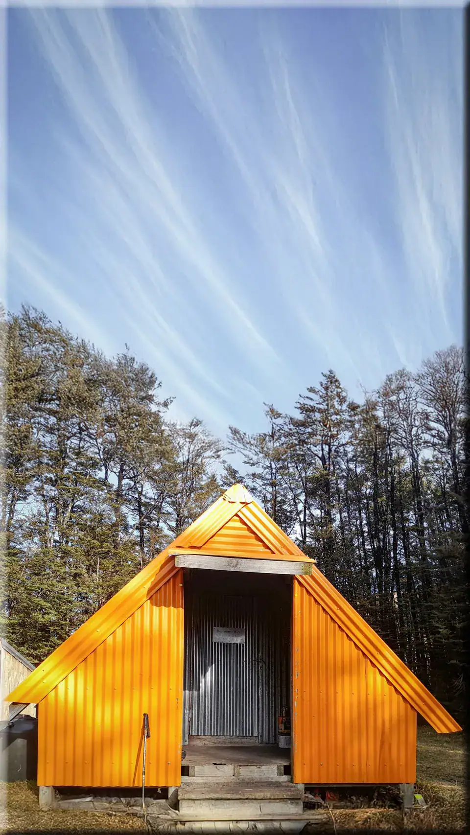
Benmore Hut: 3 Bunks, no hut tickets required as is classified as basic hut, woodburner. Camping space available outside hut
Heading to Benmore Hut
The journey begins on a muddy 4WD track. You navigate a few shallow river crossings (be prepared to get wet feet) before transitioning onto a single track. After I pushed through some overgrown gorse for a while, I finally reached the DoC junction sign for the Annavale & Benmore track (3km). I continued along the Benmore Track (3.2km) wandered through beautiful beech trees next to Thirteen Mile Bush Stream, clambering over the occasional fallen log.
As the steady climb starts, prepare to contend with some mud! Fortunately, Benmore Hut appeared much more quickly than I expected, as I hadn’t really noticed the gradient of the climb.
The local deerstalkers association maintains this very tidy hut and manages the predator traps throughout the surrounding bush. From the hut, a foot trail climbs further up toward Pt 1444 and the true Benmore summit.

Navigating the Annavale Track Link
Thanks to a Canterbury Mountaineering Club (CTC) trip report, I knew about a linking track that connects this area to the Annavale Track. A public easement across private farmland opened up this route in 2020. While topo maps do not show it yet, the trail markers on the track itself are excellent.
The Benmore/Annavale Link track (2km) offers a lovely climb through native beech forest to the bush edge, where you enjoy spectacular, sweeping views across to Benmore, Mt Hutt, and the snow-dusted peaks of the Torlesse Range.

Detour to Sugarloaf Summit (Pt 1203)
Where the paths meet, a DOC signpost pointed toward Sugarloaf Summit, the highest point on the Russell Range (45-60min/3.7km return). Though my map omitted the name, I correctly wagered it was the high point marked as Pt 1203. After doing some quick time calculations to ensure we wouldn’t miss our flight, I decided to check it out.

The push to the summit follows an easy 4WD track. On this day, light patches of snow and a fierce high-country wind made the final stretch harder work. Reaching the top confirmed my guess—it was indeed Pt 1203, and the peak offered brilliant panoramic views.
From the summit, I enjoyed an easy run all the way back down the Annavale Track to the carpark to meet Tony.