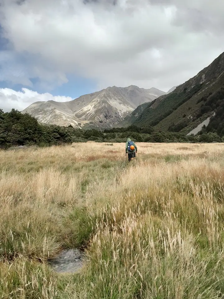
Gunsight Pass had been a trip at the top of the list for Matt and I ever since our trip over Maitland Pass and past the “Banana Tarns” in Ruataniwha Conservation Park. Finally, everything aligned perfectly. I was in the South Island, Matt had time off work and we had good weather.

Matt picked me after I had just finished a big week of running at Cavalcade in Twizel. My legs were a bit tired from all the running but I was not too tired for Gunsight Pass! We made tracks toward Lake Ōhau and the Temple Valley. Camp for the night was at Temple Campsite, eager to set off first thing the next morning with daypacks.
Gunsight Pass Loop Overview
Before diving into the trip report, here are the quick trip stats you need to know.
| Distance | 25 km loop |
| Elevation Gain | 1,587 m |
| Time Required | 10–12 hours |
| Topo Map | BZ14 Mount Barth |
| Difficulty | Experienced/advanced. Off track sections – scree, boulder hopping & route-finding, unbridged river crossings. Helmets recommended if in a group |
| Best Direction | Walk up North Temple track to Gunsight Pass. Climbing up the heavy boulders on the North side is safer, while the South side offers a fast, fun scree slope to descend. |
| Accommodation | Camping at DoC Temple Campsite at the start of Temple Valley tracks. It is a basic campsite that requires no camping fees/bookings, has a long drop toilet, shelter for cooking, stream for water and plenty of space to camp. Dogs on leash only. Take sandfly repellent |
⚠️ Safety Note: Helmets are highly recommended if you are tramping in a group due to the high risk of loose, movable rocks on the climb to the pass.
North Temple Valley
We woke up to unexpected low, thick cloud and light drizzle. Even though the weather forecast hadn’t predicted this, we decided to push on up the North Temple track to see how we felt and give the weather a chance to clear.
The North & South Temple Tracks split after an unbridged crossing of the North Branch of Temple Stream. While this track has been washed out in places from high river flow and had some tree fall to climb over, it was easy walking through beech forest. The real magic happened when we emerged from the bush at the head of the valley. We walked out into a stunning cirque basin spilling over with waterfalls. The sheer scale and mist gave it a moody, dramatic atmosphere that made it feel a bit like we were in Fiordland.
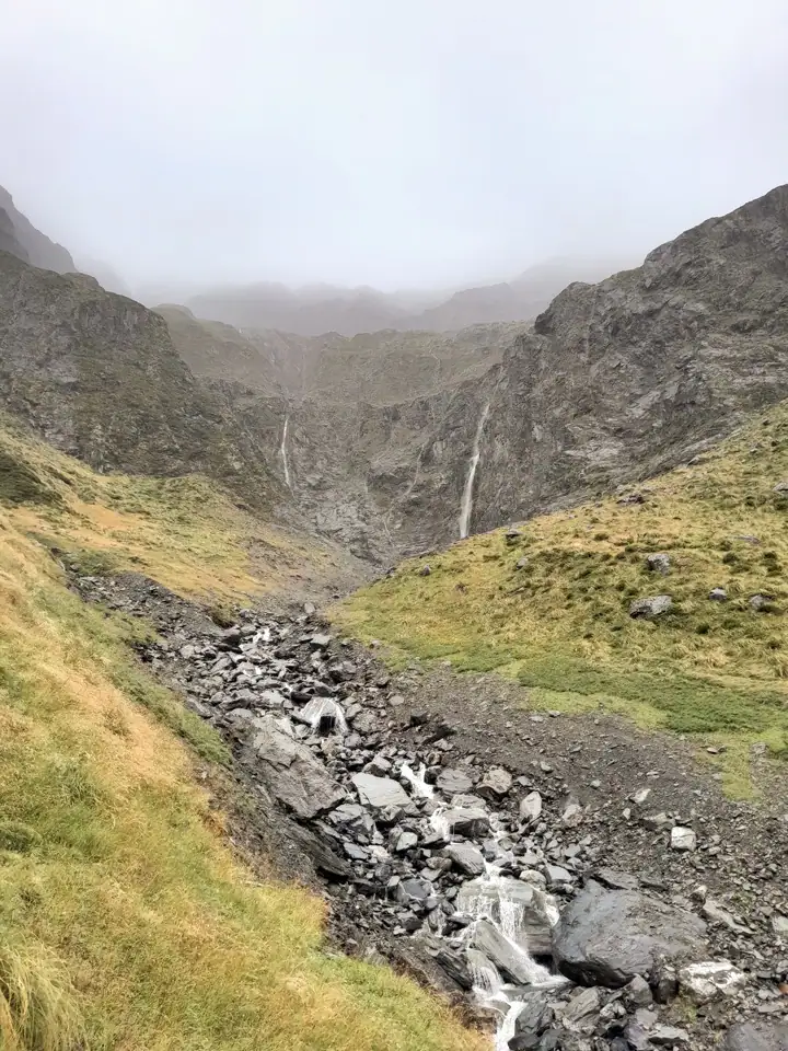
From the basin where the marked track ended (~5.5km), we followed the first branch of Temple Stream south-west up an obvious gully. The pass itself was completely shrouded in mist, but because it appeared to be clearing intermittently, we decided to keep climbing.

Climbing to Gunsight Pass
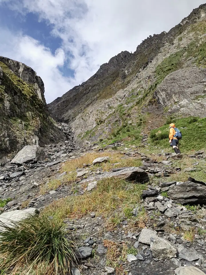
The final climb up to Gunsight Pass is a solid grind over scree and heavy boulders. Navigation is very easy as it is simply a matter of following the stream up the gully. We just had to be incredibly cautious with our lines to ensure we didn’t accidentally knock any loose rocks onto each other and we both wore helmets for extra safety.

Reaching Gunsight Pass (~8km), we were rewarded with misty views down into South Temple Valley and clear views back to the North Temple Cirque Basin. We didn’t linger long as a cold wind was whistling through.

Fun Scree Descent into South Temple Valley
The first part of the descent from Gunsight Pass is an absolute blast—a classic, fast scree slope that eats up vertical meters in no time.
While the mist obscured some of the views down the valley, we’d actually tramped this lower section on our Maitland Pass trip, so we didn’t feel like we were missing out. After the scree, we hit a sprawling boulder field that slowed our pace down, sticking to the edge of the scrub marked on the map. There were a few cairns to guide us on the easiest route. This took us down a side branch before joining up with the main Temple Stream and joining the Upper South Temple Track.

South Temple Track
The Upper South Temple Track is marked by poles, cairns and ribbons due to the traps along it. Sometimes they could be a little harder to spot initially. This track involves multiple crossings of the Temple Stream as the route travels through scrub on the edge of the stream.
💡 Top Tip: It is well worth putting on gaiters for this section. It is quite overgrown and there is plenty of speargrass.
By the time we reached South Temple Hut (~17km), the clag had completely vanished, and we emerged into glorious, hot sunshine. We stopped for a breather and a read of the hut book. Matt spotted that the Over 40s Tramping Club that he belongs to had come through just a few weeks earlier on a similar route.
After South Temple Hut, the Temple Stream must be crossed again. It is wider here with significantly more flow and could be difficult to cross after heavy rain.
Even though we had walked the South Temple Track twice just a year ago, we both still really enjoyed it. It’s a beautifully flowing bush track, made even better by the dozens of tītipounamu (rifleman) that were fluttering around us in the beech trees.
For another adventure in the Lake Ōhau area, head towards Dumb-bell Lake & Mt Sutton.