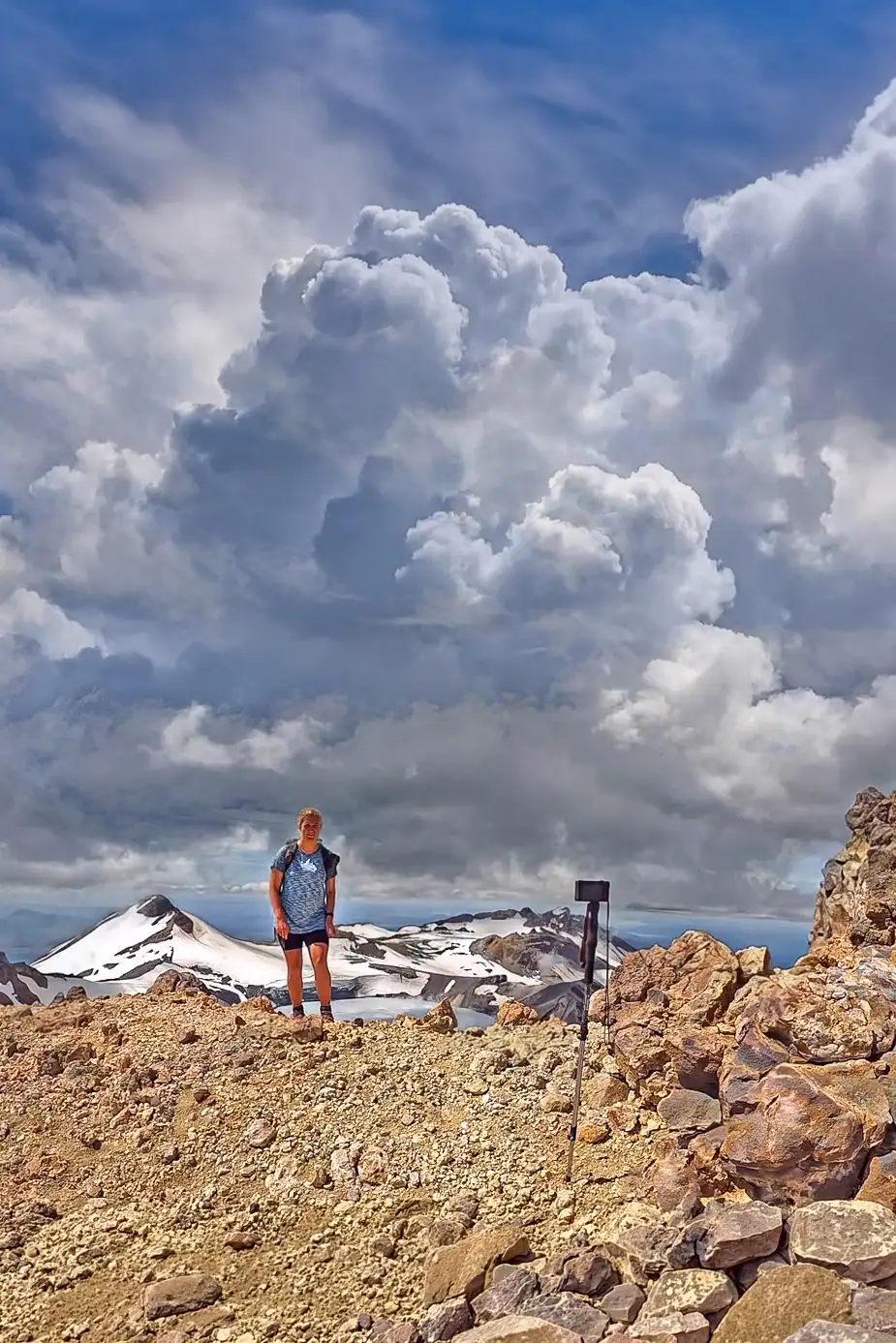
Tahurangi (2,797 m) is the highest point on Mt Ruapehu and the highest mountain summit in New Zealand’s North Island. The most popular
summer route starts from the Tūroa Ski Area and takes experienced hikers around 7–9 hours return. There is no marked track above the skifield and be aware that the route is not for novice hikers.
While many visitors flock to the Tongariro Alpine Crossing, the climb to Tahurangi offers a more rugged and rewarding challenge for experienced hikers. This journey takes you through a dramatic volcanic landscape, with views opening onto the ice of the summit plateau glacier and an opal coloured crater lake. Whether you are navigating the ancient lava flows or just enjoying the wonderful world of fire and ice landscapes, a summer ascent of Ruapehu is an unforgettable New Zealand adventure.
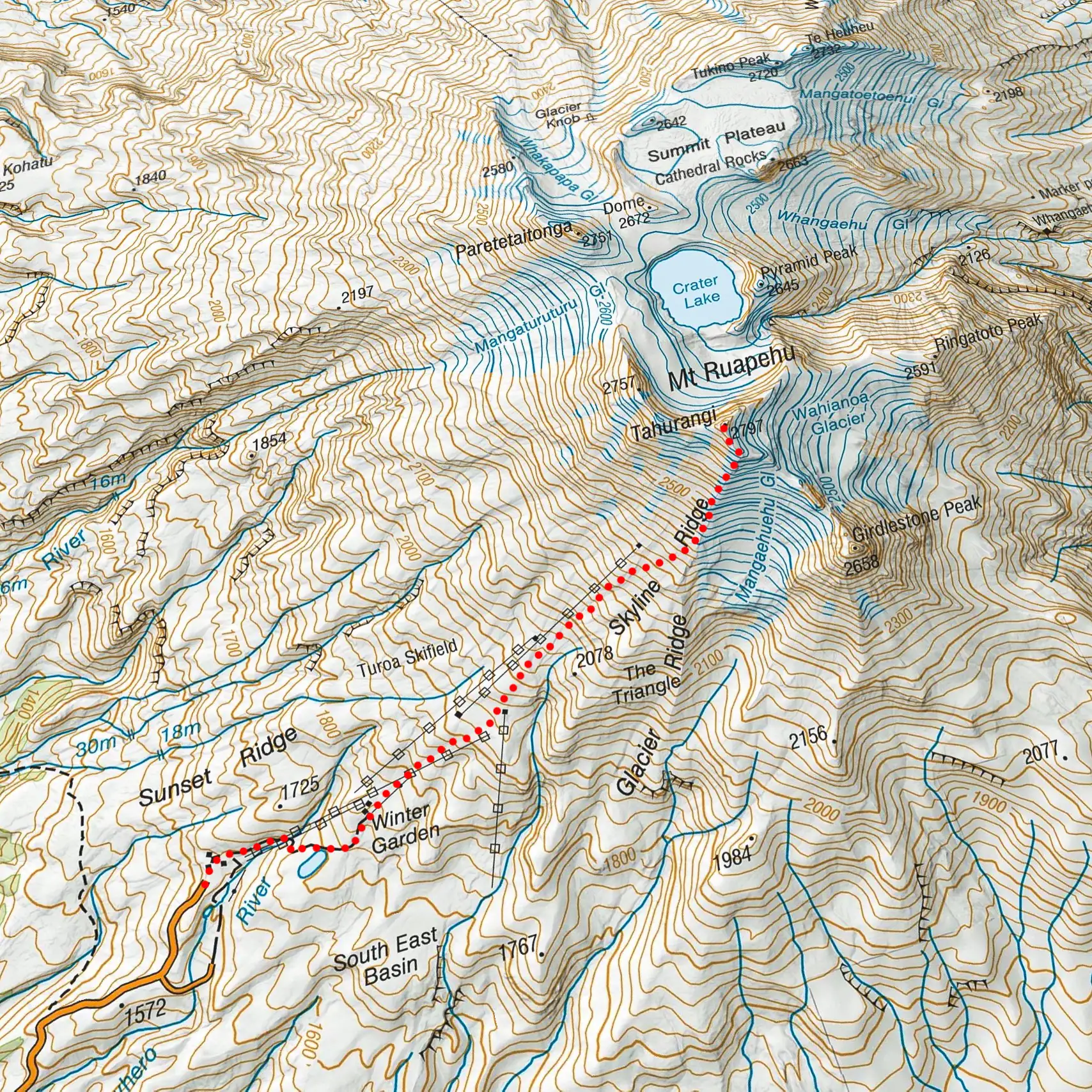
The easiest hiking route to Tahurangi, the highest peak of Mt Ruapehu, starts at the Turoa Skifield carpark and follows a 4WD track through the lower skifield area then up the line of the ski lifts before crossing to Skyline Ridge and onwards to the peak.
This route requires a reasonable level of fitness and mountain experience, although in summer conditions it should not require specialized climbing gear such as ice axe and crampons.
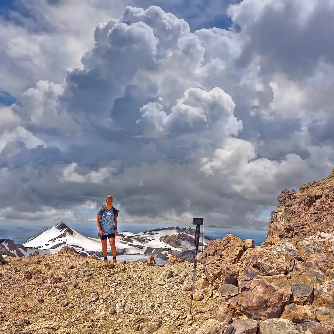
The video shows Sarah on a hike to the summit on a calm clear day in late summer when there is no snow on the route.
The usual mountain safety requirements certainly apply to this climb given the changeable nature of the weather and the challenging terrain and the lack of any marked track.
The NZ Mountain Safety Council (NZMSC) has guidance on clothing and equipment for daywalks.
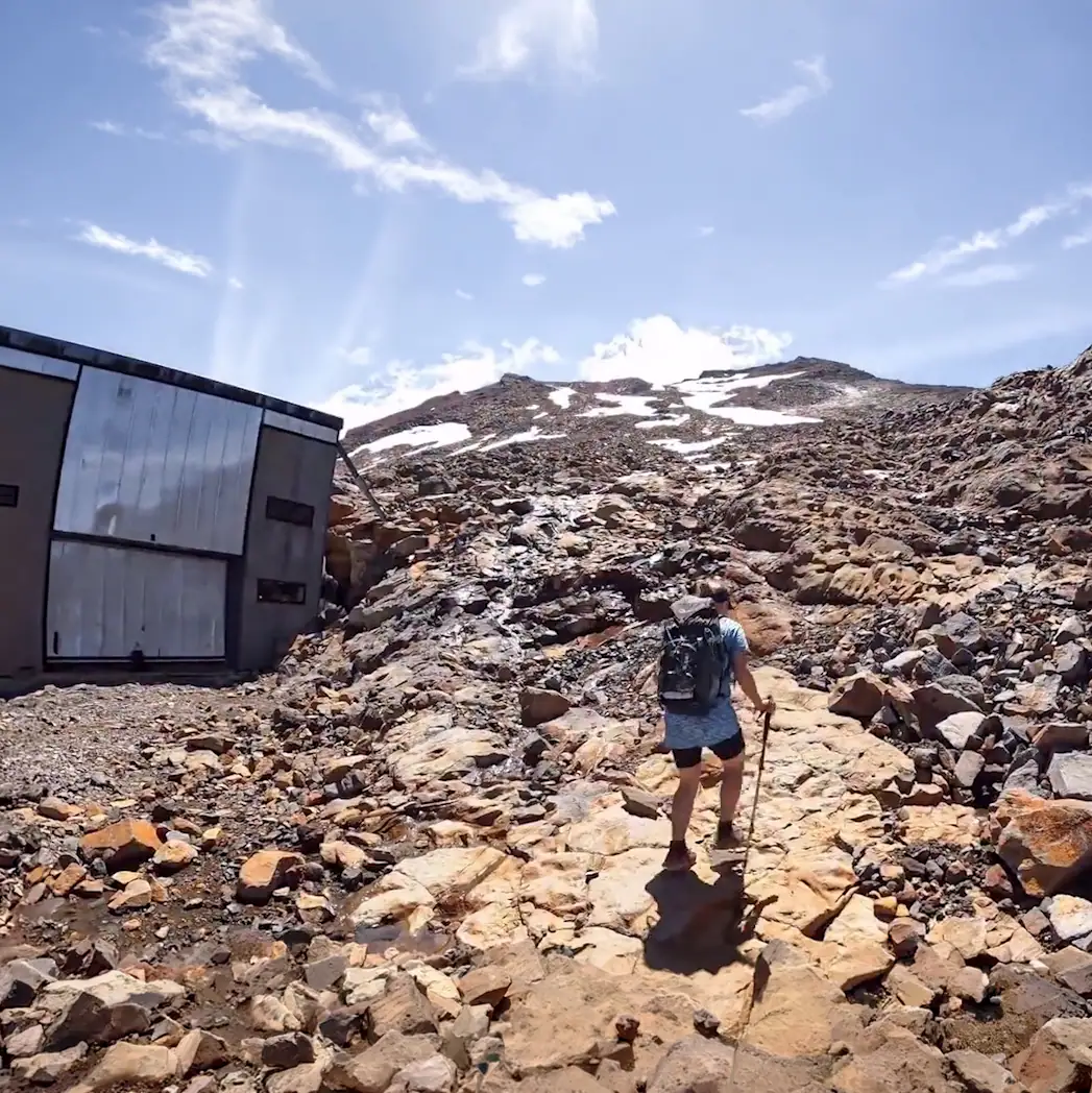
Note on glissading
In the video Sarah glissades (bum slides) down Gliding Gladys – a remnant winter snow chute just below the summit of Tahurangi – but does so with the help of an experienced skier who knew what they were doing. Don’t try this unless you do too – walk down if unsure as it is potentially dangerous.
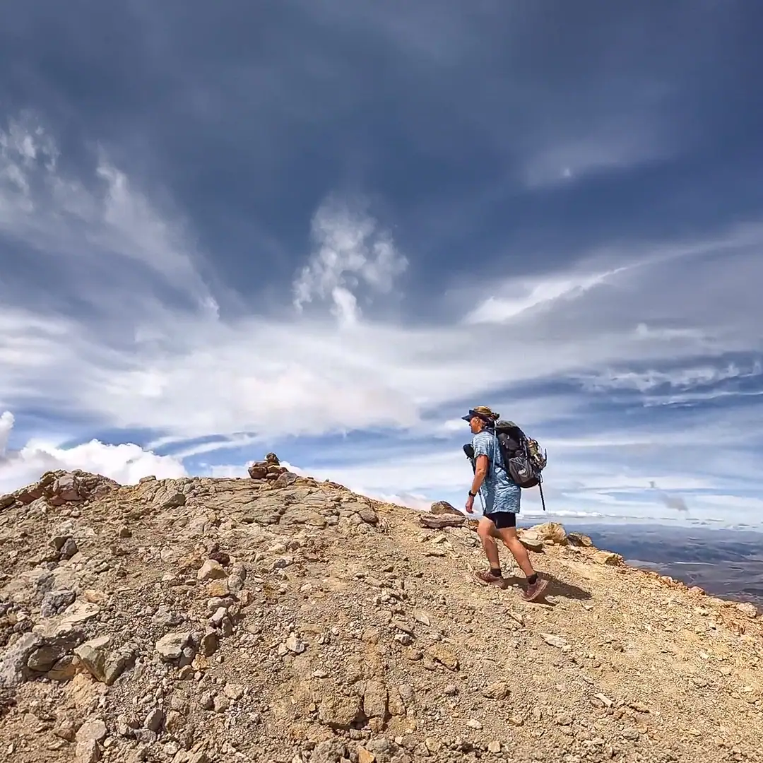
Please don’t stand on my head
If you had left the carpark on another beautiful Ruapehu day and climbed to near the summit of a nearby peak, would you be thinking that maybe you won’t go quite to the very highest point but instead stop just below the actual top? And if you were thinking that then why? And what about peaks in other places in New Zealand, maybe our highest peak Aoraki? Read more…
Other Tongariro National Park daywalks
Check out other trip reports and videos on the website – there are hikes for everyone from easy family outings to multiday off-track adventures. You may enjoy waterfalls, or perhaps searching for ice-caves, or if you are keen on an an off-track hike to one of the least-climber peaks in the park then try Pukekaikiore. There are even two wilderness areas to visit if you have backcountry skills.
FAQ
❓How difficult is it to hike to Tahurangi?
It is reasonably strenuous and requires experience on rough terrain. There isn’t a groomed trail; it involves navigating volcanic scoria, rock hopping, and potentially crossing snow patches even in summer. You’ll need a good level of fitness and mountain experience.
❓Do I need a guide?
While not legally required, it is highly recommended if you aren’t an experienced alpine navigator. The weather changes in minutes, and there is no path or route markers.
❓How long does the return trip take?
Expect it to take 7 to 9 hours from the carpark to the summit and return, although this varies significantly based on your pace and the conditions.
❓Is the trail well-marked?
No. There is no marked path (except in the lower skifield area) and you must navigate your own route.
❓Is there water on the route?
No. There is no water or other conveniences – or shelter. You must be self supported.
❓What gear is essential?
- Boots: Sturdy, hiking boots or shoes.
- Layers: Thermals, a fleece, and a high-quality wind/waterproof shell.
- Safety: PLB (Personal Locator Beacon), map, and compass/GPS and know how to use them.
- Sun protection: High-SPF sunscreen and sunglasses – a hat is worthwhile.
- Food and water. Carry all you will need.
❓What is the best time of year to go?
January to March. This is when the snow has mostly melted, the days are longest, and the weather is generally most stable.
❓Do I need a permit?
No. An individual permit is not required, but you should always check in with the DOC (Department of Conservation) Visitor Centre to log your intentions and get the latest weather and volcanic updates. Leave your plans and return time with a trusted contact.
❓Is there mobile coverage?
Yes. There is full mobile coverage over the route.
❓Is it worth the effort?
Yes. Definitely – but treat the climb with respect – it is not for novice hikers and if conditions are not good then wait for another day. Ruapehu maunga will still be there.
Tahurangi vs Tongariro Crossing:
| Tahurangi | Tongariro Crossing | |
| Start | Tūroa Ski Field | Mangatepopo Rd |
| Distance | 4 km | 20 km |
| Elevation gain | 1,200 m | 800 m |
| Marked trail | No | Yes |
| Time | 7-9 hours | 7-8 hours |
| Fitness | High | Good |
| Navigation required | Yes | No |
| Water | No | Yes |
| Toilets | No | Yes |