
The Tararua Range is one of New Zealand’s best-known tramping areas, stretching from the Manawatū Gorge to the Remutaka Range
north of Wellington. Famous for its rugged ridges, historic huts and notoriously changeable weather, the Tararua also have a fascinating geological and ecological history.
The Tararua is New Zealand’s spiritual home of tramping. Less than an hour from Wellington, these rugged mountains have shaped
generations of hikers with their alpine ridges, wild weather, historic huts, and unforgettable scenery. As the birth-place of the country’s first tramping club in 1919, the peaks and valleys define a national pastime, transforming mist and mud into a celebrated pursuit of adventure.
Today, the “Tararua slog” remains a rite of passage, serving as the ultimate training ground where generations of trampers learnt to navigate cloudy and windy tops, cross wild rivers and light a fire in the rain. Whether you are following in the footsteps of the 19th-century explorers or testing your pace on today’s SK speed record, the Tararua offer a raw, quintessential New Zealand experience that every hiker should experience at least once.
Tararua Range at a glance:
Location: Lower North Island, between the Manawatū Gorge and Remutaka Range
Length: approximately 100 km
Highest peak: Pukeamoamo / Mitre, 1,571m
Best known for: tramping, alpine ridges, hut and track network, and notoriously changeable weather
First NZ tramping club: Tararua Tramping Club, founded 1919
Major conservation area: Tararua Forest Park
Main geological character: uplifted and deeply eroded ancient greywacke and argillite
Typical annual rainfall: approximately 6 metres on the Main Range.

Sarah has spent many years exploring the Tararua Range in every season — from summer wildflowers around Brockett, to winter snow on Holdsworth, to the 50 huts, and wild remote valleys. This guide combines that experience with the history and science behind perhaps New Zealand’s best known tramping area.
History of the Tararua Range
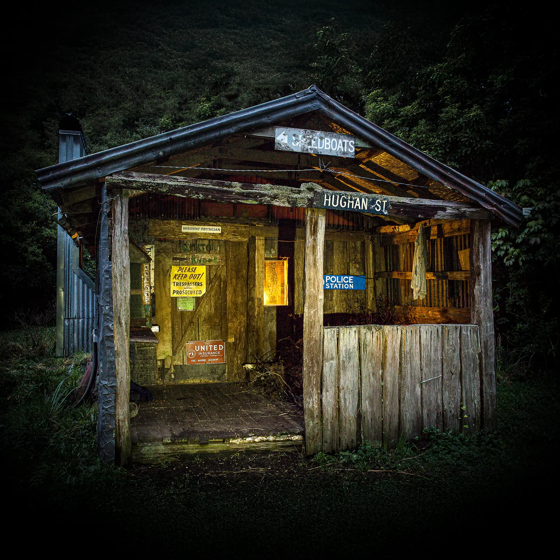
The Tararua Range has a human history beginning in the 1700s with the first Māori tribes to settle in the area: the Muaupoko in the area that is now Manakau, Ngati-Kahungunu in the Wairarapa, and Rangitani near the Manawatu Gorge.
Māori regularly travelled through the range as evidenced by the remains of adzes, obsidian flakes, and umus (ovens).
Trails from west to east included along Oriwa Ridge to Arete and Bannister and then to the Ruamahanga. Māori also travelled over the Southern Crossing route via Quoin Ridge. Many of the names for features in the Tararua were bestowed by these travellers.
When European settlers first arrived in the Tararua area the need was to clear bush for farming but also for sawmills to provide timber for construction. By the 1840s there were over 50 mills on the fringes of the Tararua and Remutaka.
Later, surveys were required for land development and trig stations were built on many of the highest peaks such as Holdsworth in 1865 and Mitre in 1870.
By 1895 public concern at the rapid loss of the natural landscape around the Tararua Range prompted the formation of the Greytown and Otaki Track Committees with the aim of fostering appreciation of the area, and a track for access was initially cut to the top of Mt Reeves.
Following on from the trig builders the next significant visitors were adventurers such as the Bannister brothers who visited some of the more remote areas for example Dorset Ridge and the Park Valley in 1885.

In 1909 Leslie Adkin, who was later to produce many scientific studies on the Tararua including the first suggestion that the Park and Waiohine River valley heads were shaped by glacial processes, made a crossing with Mr. Lancaster by what is now known as the Northern Crossing. Also in 1909 a group were able to ride horses to the summit of Mt Holdsworth!
Beginning in1915 the first hut on the Southern Crossing was built on Mt Alpha (demolished in 1952) with others following such as Field Hut in 1924 (still standing) and the route becoming an established tramping trip.
The Tararua Tramping Club (TTC, the first tramping club in New Zealand) was formed in 1919 at a time when the tourism potential of the Tararua was being promoted—and in 1921 the range was legislated as a Forest Park. Beginning in 1924 there was winter skiing at West Peak even before the first Kime Hut was built in 1930.
In the following years and especially after the end of WW II there was a renewed interest in tramping and many new tracks and huts were built.
Also at this time was a major concern at the increasing population of deer and the damage they were causing to the bush. By the 1960s the Forest Service had built 14 new huts and 10 bivvies, and cut many new tracks for use by government deer hunters
In 1987 the administration of the Tararua Forest Park was taken over by the new Department of Conservation as a Conservation Park.
But well before this time trampers and hunters would have covered every valley and ridge in the park, and in about 1961 there were the first signs that an open spirit of competition was developing among a group of fit young trampers.
The idea of a Schormans to Kaitoke weekend trip was born but it wasn’t until late 1963 there was the first success. Since then there have been hundreds of attempts, with many failures, but the time taken for the 80 km trip has steadily fallen.
More recently there were the first attempts to achieve a Main Range sub-24 hour time—which was finally achieved in 1995 by Colin Rolfe. The record at 2026 stands for men at 18h 15m by Sam McCutcheon and Danny Garrett, and for women at 22h 34m by Lou Beckingsale.
Other competitive events which attract large numbers of competitors such as the annual Southern Crossing Race and the Holdsworth Jumbo Race demonstrate that today the Tararua offer more to visitors than just the familiar ‘old style’ tramping trips. Likewise other ‘fringe’ activities such as canyoning are becoming more popular.
The future of the Tararua Range seems to be to continue as a wonderfully valuable resource to users of the outdoors, whether as a place for a leisurely weekend tramp through the forest on formed tracks with comfortable huts, or to race along the tops trying for a fastest time, or maybe just to abseil down a waterfall in a precipitous and remote gorge.
The Geology of the Tararua Range
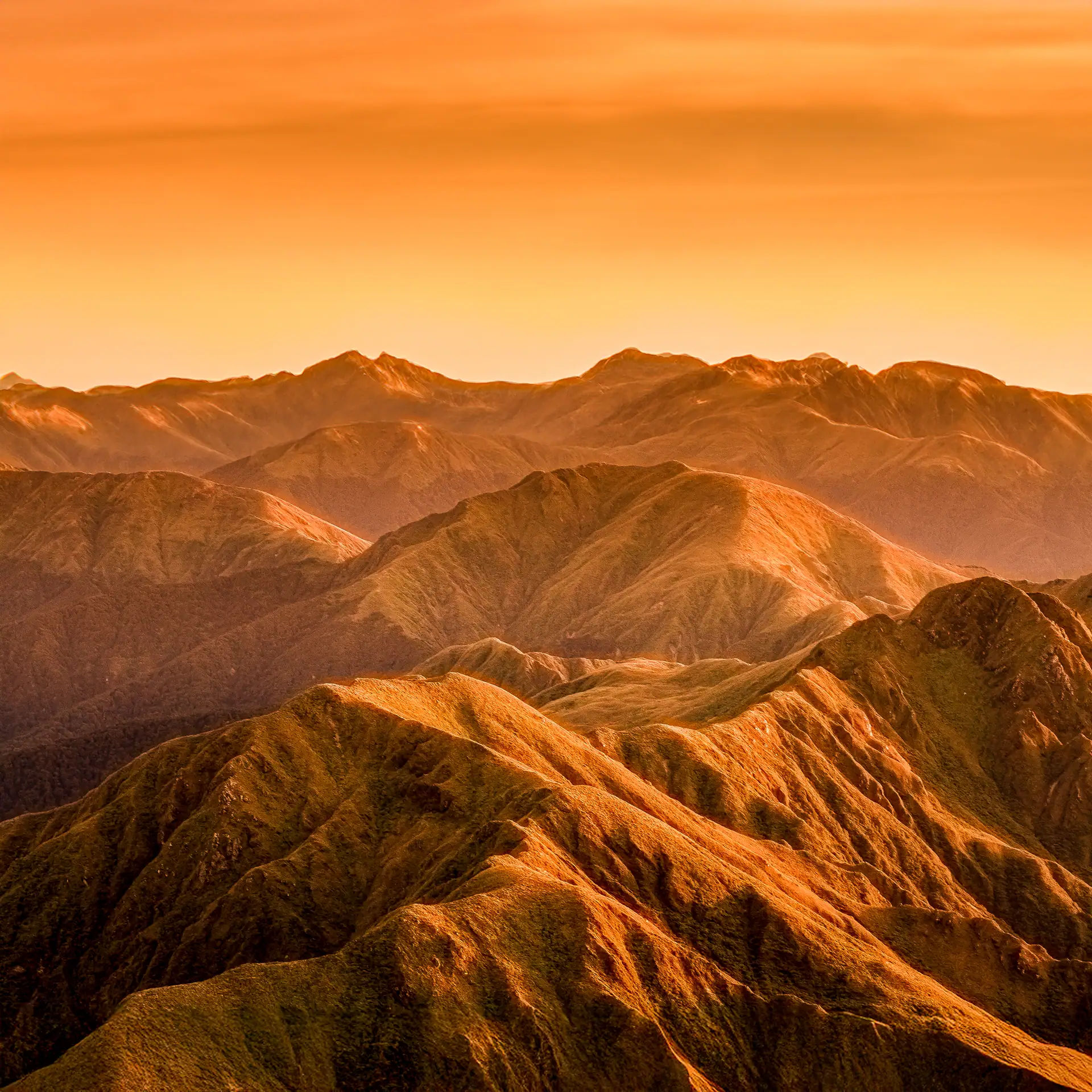
The Tararua Range extends from the Manawatu Gorge in the north to the Remutaka Hill Road in the south, and is bounded on the western side by the Akatarawa and Otaki Faults and on the eastern side by the West Wairarapa Fault. The range continues northward as the Ruahine Range and southwards as the Remutaka Range. The highest peaks rise above the plains of the Manawatu and Wairarapa to a height of approximately 1,500 m.
From ocean sediments to mountains
Geologically the Tararua Range itself is very young. About 7 million years ago crustal movements raised sediments from the ocean floor to form new land in the area that is currently the southern end of the North Island. However, the rocks that make up the range are known to be old—for in the rocks there are the fossil remains of shells of marine creatures that became extinct 200 million years ago.
The Tararua Range is characterised by steep sided peaks, and swift rivers that have cut deep gorges, and by the many earthquake fault lines that traverse the region.
The most prominent fault is the Tararua Section of the Wellington Fault that enters the range at Kaitoke and follows up the Tauheranikau Valley, over Cone Saddle and through Totara Flats, up the Atiwhakatu and Waingawa Valleys, then through Cow Saddle and exits down the Mangatainoka Valley.
Why are the Tararua summits so similar in height?
Standing on top of one of the highest peaks gives the impression of high hills and ridges rising above the valley floors as if they have been somehow pushed individually upwards. But this does not reflect how the topography actually came to be.
Rather it was formed by a large domed mass of land forced upwards by tectonic forces to a height of approximately 1,500 m which has now been mostly eroded away by running water to form the river gorges and valleys, and the peaks are simply the small remnants of the once large area of raised land.
So what we see is actually the ‘wreckage’ of a once grand peneplain—a domed block at the height of the highest remaining peaks. This results in the obvious ‘summit accordance’ whereby the remaining peaks are all nearly the same elevation, approximately 1,500m. The sediments removed by the rivers cutting down into the peneplain have formed the Manawatu and Wairarapa Plains.
Summary:
About 300 million years ago New Zealand did not exist as a landmass at all but was a depression in the ocean floor that was filling with sediments eroding from a landmass to the west (then part of the super-continent Gondwanaland).
During this time volcanoes on land and under the sea were also contributing sediment to the basin. About 150 million years ago these sediments were forced upwards by crustal movements to form an ancestral New Zealand but which would have looked nothing like the shape we recognise today.
Over the next tens of millions of years this landmass was itself eroded away with only a few low hills remaining, and at times even forming an archipelago—a series of small separated islands.
Then about 7 million years ago the sediment accumulating either side of the ancestral New Zealand eventually became deep enough to force the crust upwards, folding and faulting the rocks in the process, to form the block of high land composed of sedimentary rocks (greywacke and argillite) that would then largely erode away to become the Tararua we know today.
Some of this geological history is still evident: The summit accordance of the highest peaks shows the height of the original peneplain. The path of many of the rivers follow fault lines—for the rock along faults has been crushed and weakened by ground movements and is much more easily eroded by running water.
The Wellington Fault
The Wellington Fault is particularly important in shaping the Tararua landscape. I’ve looked at the fault and its extraordinary effect on the
range in more detail here: The Wellington Fault – Why the Tararua Range Is One of New Zealand’s Biggest Jigsaw Puzzles.
Many of the rivers (e.g., Waiohine, Waingawa, Ruamahanga) have been ‘offset’ by fault movements—they start by flowing east, then turn a few kilometres south along a major fault line that has moved laterally about 7km, before flowing east again, whereas once they would have just flowed continuously east.
In some places (e.g., Waingawa River) where erosion has removed vegetation and exposed the underlying rock there are outcrops of red and green volcanics that were erupted from the undersea volcanoes 200 million years ago. And much more recent geological processes such as the erosion of U-shaped valleys by small glaciers that existed in the Tararua Range during the last ice-age that ended about 15,000 years ago are evident in the head of the Waiohine River, Park River and South Mitre Stream.
At Otaki Forks scallop-like shells of the extinct Monotis richmondiana have been found and dated as 200 million years old.
Many of these geological processes are continuing today—the Tararuas in the distant future will be very different to what we know now.
Tararua Range Weather – Why Is It So Wet and Windy?
Any discussion on tramping in the Tararua Range usually centers on the weather—and the climate statistics show why it actually deserves its reputation for the often miserable conditions.
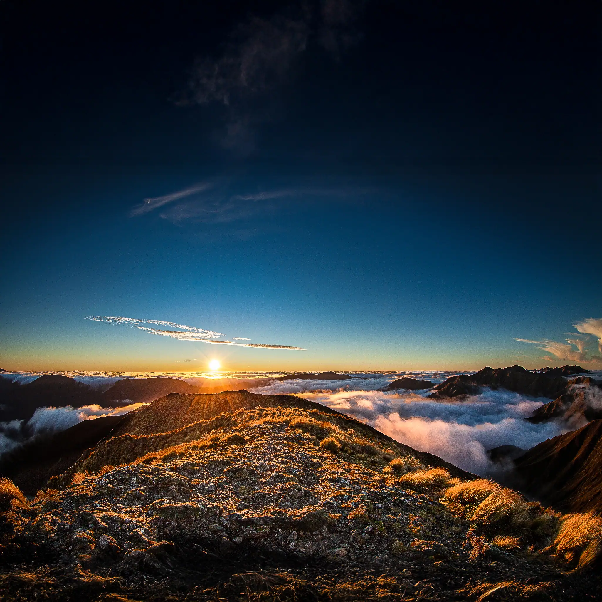
There are only about 100 days per year when the Tararua Range is largely free of cloud; the prevailing wind blows over the range from the west or north-west at an average speed of 21 knots (or 39 km/hr), and the rainfall about the Main Range averages close to 6 metres per year.
A few decades ago the Tararua would be well regularly coated in deep snow to below the bushline from June to October—however because of global warming and climate change some winters now see no significant snow at all.
But in fairness we shouldn’t forget that these precipitation statistics are no worse than many other western mountainous areas in New Zealand, say Taranaki, the Paparoa Range, Westland, or Fiordland.
And we shouldn’t be surprised by these numbers. After all the Tararua Range lies at a latitude about 41 degrees south and are within the ‘roaring forties’ of the old sailors.
At this latitude prevailing westerly winds blow largely unimpeded around the globe without any significant obstructions from continental landmasses as in the northern hemisphere, and on their travels the air usually becomes highly saturated with water vapour evaporated from the vast southern oceans.
When any saturated air eventually blows across the Tasman Sea and encounters its first significant obstacle (in this case the Tararua Range) it is forced to rise over the summits (orographic uplift). Rising air cools adiabatically—by expanding into lower pressures—and if cooled sufficiently then the water vapour will condense to form water droplets as clouds and usually rain.
The air is now drier and warms when descending the other side of the range to give clear sunny weather in the east.
And how often does this play out on a tramping trip? You travel to Otaki Forks in fine weather arriving to see the ranges covered in cloud. The weather gets wetter, windier and colder on the walk up to Kime and stays that way over to Alpha. Once there patches of the Wairarapa Plains basking in the sunshine are visible out to the east and by the time you have travelled over Bull Mound and out to the Waiohine Road you are back to a warm sunny day, while behind you the orographic cloud still covers all the tops.
The atmospheric conditions that give the typical Tararua misty-wet-northwest gale weather are mostly a macro-scale phenomenon with a time scale of many days or sometimes weeks.
But of course there are many other weather patterns that produce harsh weather on a smaller scale with effects over shorter time scales such as low pressure areas, frontal systems, and local thunderstorms. These are often the weather conditions that catch trampers unaware for their onset can be rapid and unexpected.
The combination of rain and wind is accentuated by wind chill—an effect that can lower the felt temperature sufficiently to cause hypothermia. In winter (and sometimes even in summer) the southerly winds following a cold front will bring snow and temperatures below freezing. And of course continuous heavy rain causes rivers to rise and become un-crossable except where bridged.
‘The Tararuas are to Wellington trampers what oatmeal is to Scottish people; dull solid fare which gives them staple virtues’
John pascoe
So does all this make the Tararuas a place to avoid? John Pascoe, a renowned early alpine climber and a Wellington resident seemed to think so when he said, ‘The Tararuas are to Wellington trampers what oatmeal is to Scottish people; dull solid fare which gives them staple virtues’.
But this overlooks what the Tararuas have to offer on the 100 days a year when it’s not raining—adventurous tramping with stunning scenery.
Flora and fauna of the Tararua Range
In the early 1900s, Leonard Cockayne— the father of modern New Zealand plant ecology —made extensive trips into the Tararua. He was fascinated by the sheer richness and distinct physical form (ecomorphology) of the range’s alpine flora.
He was particularly struck by how plants such as the North Island edelweiss (Leucogenes leontopodium) flourished on the Tararua tops, occupying much the same ecological niche that various Celmisia (mountain daisy) species fill in the South Island.
Cockayne wrote enthusiastically about the distinctiveness of the Tararua mountain flora, highlighting it as a prime example of how plant communities adapt to extreme, high-wind, and mist-heavy environments.
In 1938, botanist V. D. Zotov, alongside Norman Elder and others, published “An Outline of the Vegetation and Flora of the Tararua Mountains” in the Transactions of the Royal Society of NZ.
This paper was a massive milestone in New Zealand botany. Zotov and his team formally documented the range’s extraordinary biodiversity, noting that despite covering a relatively small geographic area, the Tararua possessed an exceptional density of distinct ecological zones—ranging from lowland podocarp swamps to subalpine leatherwood belts and fellfields—all crammed into a steep 1,500-metre vertical rise.
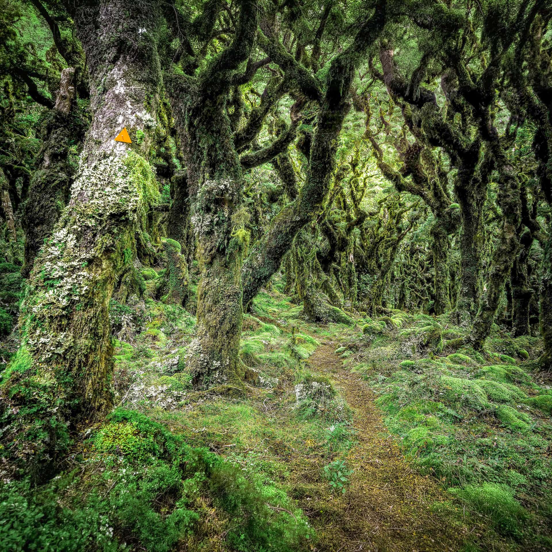
The lowlands of the Tararua Range are dominated by lush podocarp-broadleaf forests, where emerging conifers like rimu, miro, tōtara, and kahikatea rise above a dense understory of ferns, tree ferns, and flowering broadleaf trees such as tawa and kāmahi.
As you climb higher across most of the range, podocarps yield to beech species. In the cool, wet montane zone, silver beech and red beech take over, often gnarled and heavily draped in thick mosses, liverworts, and hanging lichens—creating the classic, mist-shrouded ‘goblin forest’ for which the Tararuas are famous.
Four of New Zealand’s five native beech species are present in the range: silver, red, black, and hard beech (mountain beech is absent). However, beech trees disappear abruptly from the northern Tararuas and southern Ruahines—a famous ecological anomaly known as the Manawatū Beech Gap. In this northern zone, the high-altitude canopy is formed instead by kāmahi, Hall’s tōtara, and mountain rātā. The exact cause of the Beech Gap remains debated, with scientists proposing combinations of past climate change, and the limited ability of beech seeds to recolonise the area after ancient forest disturbances.
Elevation Profile and Forest Succession
—————————————–
[ Alpine Tops ] Tussock grassland, gentians, mountain daisies, edelweiss
[ Subalpine Belt ] Dense leatherwood scrub (Olearia / Brachyglottis)
[ Montane Zone ] Silver & red beech (‘Goblin forest’), or Kāmahi/Rātā (Beech Gap)
[ Lowland Valleys ] Podocarp-broadleaf forest (rimu, tōtara, tawa, kāmahi, ferns)
—————————————–

The Subalpine Belt and Alpine Tops
Above the forest line lies the subalpine belt, largely dominated by dense, near-impenetrable tracts of leatherwood (leatherwood scrub), a hardy native daisy shrub.
Emerging above the leatherwood onto the open tops reveals sprawling alpine tussocklands. Here, delicate alpine blooms—including gentians, mountain daisies (Celmisia), and the North Island edelweiss (which produces magnificent late-summer displays around peaks like Brockett)—grow alongside the sharp, formidable speargrass (Aciphylla), a formidable plant well known for its razor-sharp leaves, often making off-track travel particularly unpleasant.
The Montane Zone
Between the valley floors and the exposed subalpine scrub lies the montane forest, arguably the heart of the Tararua ecosystem. Here, persistent cloud, high rainfall, and cool temperatures create ideal conditions for luxuriant mosses, liverworts, filmy ferns, and lichens that cloak almost every branch and trunk. Fallen logs quickly disappear beneath blankets of moss, while countless fungi and invertebrates recycle nutrients back into the forest. This damp, sheltered environment provides habitat for many of the range’s native birds and forms the transition between the towering lowland forests and the windswept alpine world above.
The Lowland Valleys
The deeply incised river valleys are among the most productive ecosystems in the range. Rich alluvial soils and abundant rainfall support towering podocarp-broadleaf forests, while the numerous rivers and streams provide important habitat for freshwater species such as kōura, longfin eel. These relatively sheltered valleys often acting as wildlife corridors, allowing birds, insects, and native plants to disperse throughout the forest.
An Historic Stand at Kiriwhakapapa
Exotic trees are largely confined to the margins of the forest park, but one notable exception stands at Kiriwhakapapa. Here, a magnificent stand of Californian redwoods and Japanese cedar was planted in the early 20th century to replace logged native podocarps. Intended for future timber harvesting, the trees escaped the saw and now form an impressive, cathedral-like canopy with an atmosphere unlike anywhere else in the park.
Native Fauna and Conservation Effort
Like all mainland New Zealand forests, the Tararua ecosystems have suffered significantly from introduced pests such as possums, stoats, rats, ferrets, deer, and goats. The range was famously one of the final strongholds of the extinct huia, last officially sighted in the early 1900s.
While introduced predators severely reduced many bird populations, modern landscape-scale trapping and pest management programmes are driving a promising recovery.
- Recovering Birdlife: Native species such as kākā, kākāriki, korimako (bellbird), tītipounamu (rifleman), toutouwai (North Island robin), and whitehead (pōpokotea) are increasingly abundant in managed blocks.
- Nocturnal Wildlife: The native ruru (morepork) is commonly heard calling at night throughout the valleys. Deep within the park, both species of New Zealand’s native land mammals—the long-tailed bat and the rare southern North Island population of the lesser short-tailed bat.
- Invertebrates: High on the damp ridges lives the giant carnivorous land snail (Powelliphanta), alongside the dark-sheltered black snail (Rhytida). And elsewhere a multitude of bugs, beetles, moths, butterflies, giant worms, and of course sandflies.
The result is a mountain range with such diverse flora, and where rainfall, cloud, wind, and altitude change so rapidly that trampers can walk through several distinct ecosystems in the course of a single day’s journey—from towering podocarp forest to moss-draped goblin beech forest, dense leatherwood scrub, and finally the windswept alpine tops often with wonderful meadows of flowers.

Ready to explore the Tararuas?
Whether you’re planning your first day or overnight trip or looking for remote ridges and forgotten huts, we’ve put together some guides, photo stories and route descriptions from all over the range. The most popular are:
A Tararua Range high: Maungahuka Hut – my ‘why’ of tramping
Holdsworth Day Walks: Gentle Annie, Pinnacle, and Summit Guide
The oldest hut in the Tararua Range | it may not be what you think
Exploring the Tararua Range: Huts, Ridges, and Alpine Flowers
Totara Flats | How the Wellington Fault Created a Tramper’s Delight